• Teressa Jackson, Artist
Menu

Teressa Jackson

Street Address
Monterey, CA
5025932596
TeressaLJackson.com

Your Custom Text Here

Teressa Jackson

  • Teressa Jackson, Artist
blog.jpg

Blog

Mighty Yosemite

June 2, 2017 Teressa Jackson

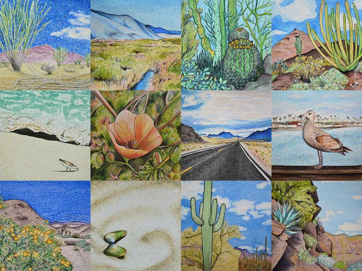
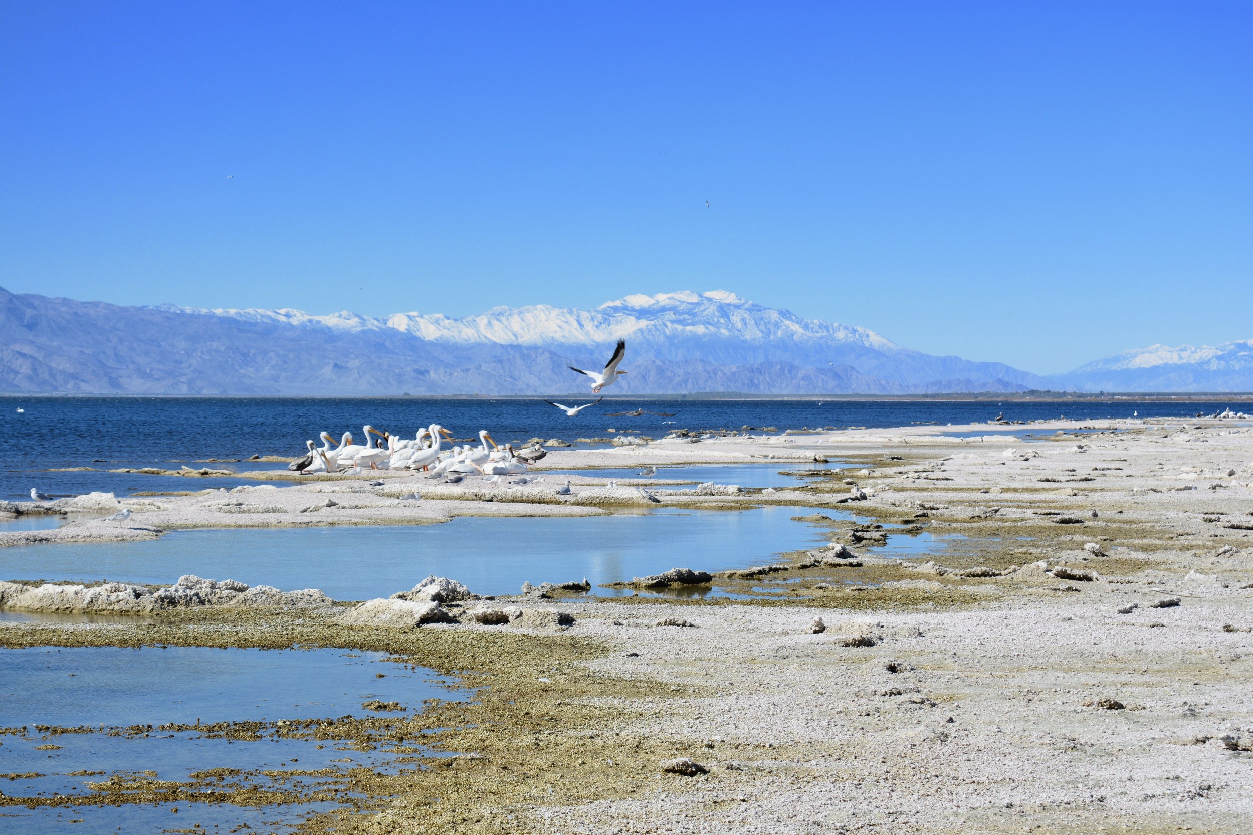
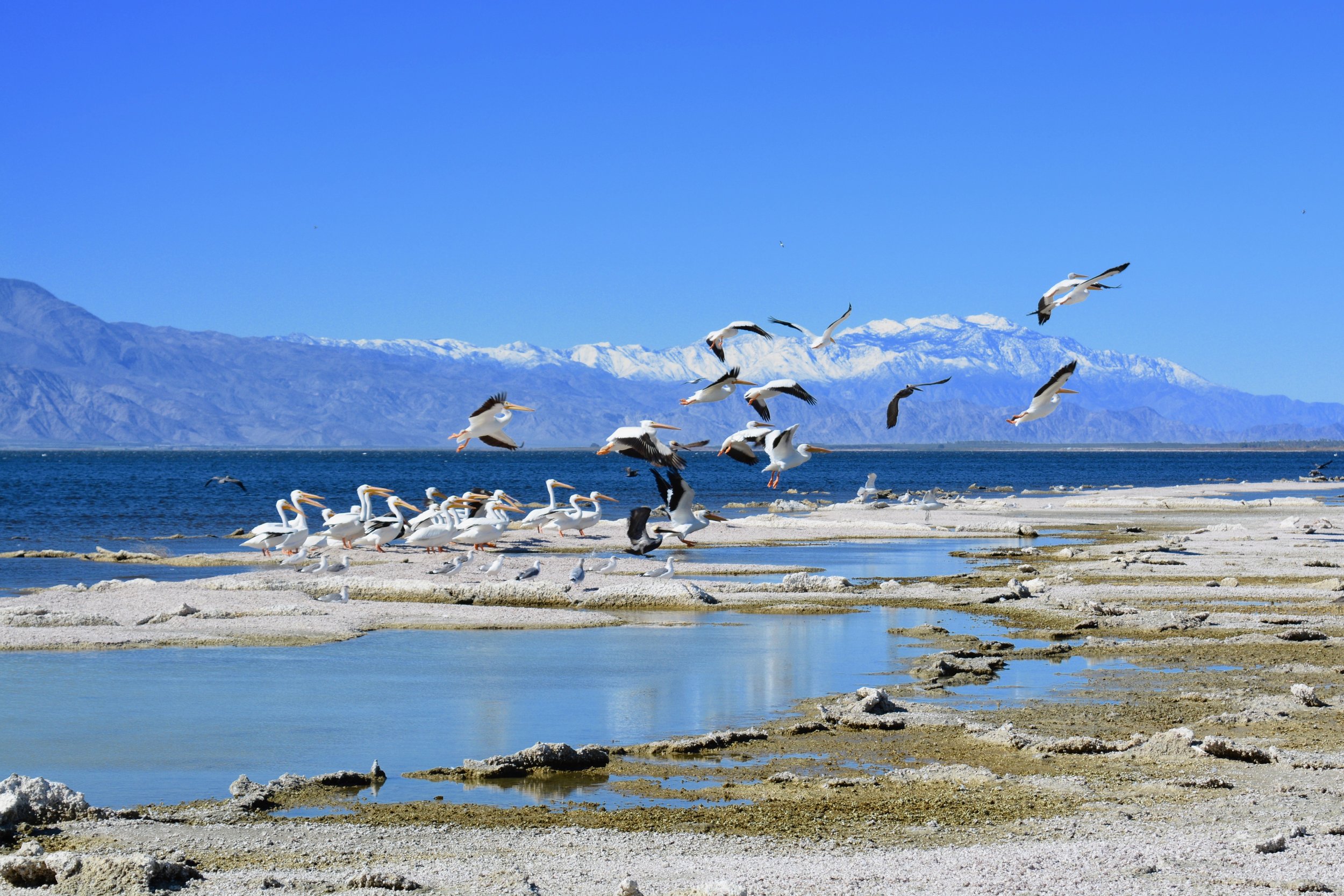
After saying goodbye to my mother in Las Vegas, I had a long haul ahead of me. I was soon in California, cruising along in one of the state's least attractive stretches, at least in my opinion. I adore the desert, but the Mojave Desert in southern California is exactly what most people who haven't seen a desert picture: dirty, trashy, flat, uninhabited, and boring. I think it may have been the setting for Mad Max: Beyond Thunderdome. As much as possible, I made quick work of putting it behind me.  

Just before dark, I reached the adorable historic town of Sonora in the foothills of the Sierra Nevadas. My Airbnb hosts, Sarah and Stan, were so sweet and enthusiastic, and a great treat after a long day. I immediately felt at home and loved the view in the waning light from my apartment atop their garage. 

Looking down into Yosemite Valley. Do you see the waterfall?

The next morning, I took off into the hills to our nation's longest-protected treasure, Yosemite National Park. The Yosemite Grant was signed by President Abraham Lincoln on June 30, 1864 in the first instance of park land being set aside specifically for preservation and public use by the federal government. This action set a precedent for the 1872 creation of Yellowstone as the first national park.

I think I may have visited Yosemite as a child, but I don't precisely remember. I'm quite sure, though, that I'll never forget it again. I only got to spend one day there this time, but it has certainly landed on my list for a return visit. The park is undoubtedly beautiful any time of the year, but I was simply in awe of the number of waterfalls created by the melting snow during my time there. Most of them drop from staggering heights. In fact, the 1,430-foot plunge of Upper Yosemite Fall is among the twenty highest waterfalls in the world. Thanks to these beauties, I got wetter than on a log ride several times during my exploration of Yosemite's wonders. 

Yosemite Falls

I didn't enjoy the traffic at Yosemite, but it's also understandable why so many want to see this great American wonderland - and I'm glad to see them doing just that. However, even the lines for the shuttle looked like more than I cared to undertake. I finally found a place to park and hiked around the valley, gazing at the sheer granite cliffs, waterfalls, and gorgeous trees. It was nice to get away from the crowds and find some peaceful spots to take in the landscape.

My pruny waterfall-soaked feet started to blister as I made my way back to the car, an almost-welcome impediment since I really needed to stay in one place and get some work done the following day. I drove back to Sonora with bare feet and a head and heart full of beautiful scenery. 

In My Journey, Locations Tags Mojave Desert, California, Sonora, Sierra Nevada, Airbnb, Yosemite National Park, Yosemite Grant, Abraham Lincoln, preservation, national parks, waterfalls, Upper Yosemite Falls
Comment

Seeing Southern Utah

June 2, 2017 Teressa Jackson

I'm woefully behind on blogging again, and my travels have been jam packed with fun and adventure. Hopefully I can get caught up in the next few days. First up - my adventures across southern Utah.

Mom Jackpot!

On Mother's Day, I fittingly picked my lovely mother up from the Las Vegas airport. After grabbing some shuteye at a Vegas Airbnb, we took off across Utah. We couldn't help but stop at nearly every scenic viewpoint on the way, turning a 6-hour drive into a 9-hour one. We finally landed in Green River, Utah for the evening, and enjoyed a delicious meal at Tamarisk Restaurant along the river that evening. 

Arches National Park

The next morning, we were up and on the road bright and early again. We popped down to Moab, Utah, where we met up with my cousin Aaron and his wife Gina to tour Arches National Park. The park has over 2,000 natural arches slowly formed by the elements. It's a gorgeous landscape and it was also so nice to catch up with my cousin, who I hadn't seen in many years. After sharing lunch in downtown Moab, mom and I hit the back roads west.

Goblin Valley

I hadn't planned to stop in Goblin Valley State Park, but couldn't resist when I saw that we were somewhat close. This hoodoo-filled landscape is part of one of my favorite memories. As we walked to the edge of the depression that these formations call home, I hoped that I wouldn't be disappointed. Thankfully, this natural wonder was just as fantastic as I remembered it from when my father had brought my sister and me there over 25 years ago. I recall our 12 and 13-year-old selves filled with wonder, running around the valley with our imaginations going wild. I think it was an especially sweet experience because it was probably one of the last times my sister and I were more little girls than young women, free of all the pressures that inevitably descend upon one's teenage years.

Capitol Reef National Park

Our travels continued through Utah's beautiful and formation-filled back roads to Capitol Reef National Park. I don't recall if I had ever been to this park before, but regardless, I gazed upon its beautiful formations in wonder and awe. I was also amazed that pioneers had the fortitude to establish the town of Fruita in the area. They planted orchards of fruit trees, built houses, and worked to make the harsh landscape a home. We spent the following day exploring the park, including adventuring down the bumpy and rugged Capitol Gorge Road. 

Bryce Canyon the morning after the snow

After the morning at Capitol Reef, we went westward and upward to the town of Tropic, located just outside Bryce Canyon National Park. We dropped our stuff at the hotel and ascended further up to the park. The lodge was a perfect place to grab a filling dinner. I had intended for us to walk to the rim and peek at the canyon afterwards. Little did I know that we would be joined by a tiny snowstorm, not uncommon at 9,000 feet of elevation, even in mid-May. Not to be deterred, we adventured out anyway and enjoyed the canyon view in the waning light and drifting flurries.

Even though we had previewed Bryce Canyon in the snow the evening before, it was a completely different landscape the next morning. The salmon-covered hoodoos shone in the morning light, and my mother was as impressed as I had anticipated. I don't know how you could not be, as it's certainly one of the most spectacular places I've ever been. We rode the shuttle around the park's stops, ate lunch at the lodge, and then we were pleased to discover that the road leading to the highest points in the park had been opened so we explored those vistas, too.

The next morning, we were westward bound again. We made our way to Kanab, Utah, which is where many western films and television shows were filmed, including Gunsmoke, one of my mother's childhood favorites. Just outside Kanab, we spent the morning on a driving tour of Johnson Canyon Road. When we turned on the route, we found ourselves in the middle of a cattle drive, and had the interesting experience of driving through a mass of cows who weren't too happy to share the road. There were many interesting stops along the trail, including some pioneer billboards on the cliffs, the old Gunsmoke set, and lots of geological formations, including Johnson Canyon itself. 

Bighorns

After we refueled the car and our bellies (mmm, Mexican food!), we decided that we would drive the highway through Zion National Park on our way to St. George, our next nightly stop. We wound our way through petrified sand dunes and my mother gasped in awe. I gasped in awe myself at the bighorn sheep that covered the landscape, as it was my first encounter with them and they were literally everywhere you looked. After taking more photos of them than I'd care to admit, we continued through the park. Unfortunately, we soon found ourselves stopped. Falling sand and rock had closed the route for an indefinite period of time!

View from the Inn on the Cliff

We rerouted ourselves to St. George, instead traveling back through Kanab, then through Fredonia and Colorado City, Arizona. The Inn on the Cliff in St. George was a welcome oasis with a gorgeous view when we finally arrived, and we were more than happy to hop in the hot tub and relax. We enjoyed a peaceful dinner with a fantastic view at the inn's restaurant before turning in for the evening. 

The next day, we closed the loop on our jaunt around southern Utah and returned to Las Vegas. I showed mom around Red Rock Canyon and we enjoyed one of our favorite cuisines - Indian food! As mom boarded her plane back to Indianapolis the following day, my car headed in a northwesterly direction...

Bryce Canyon's Splendor

In Locations, My Journey Tags Goblin Valley State Park, Arches National Park, Utah, Green River, Moab, Las Vegas, Airbnb, Mothers Day, mom, hoodoo, Capitol Reef National Park, Fruita, Tropic, Bryce Canyon National Park, Kanab, Gunsmoke, Johnson Canyon, cattle, cattle drive, cows, Zion National Park, bighorn sheep, bighorn, Inn on the Cliff, St. George
Comment

Bucolic Baker

May 4, 2017 Teressa Jackson
View from Mather Overlook at Great Basin National Park

View from Mather Overlook at Great Basin National Park

When I first arrived in Baker, Nevada, I paused a bit, hoping I hadn't made a mistake. This remote outpost near the Utah border is home to a whopping 68 residents and Great Basin National Park, the reason for my visit. I had never heard of the park before I spotted a green swath on Google maps and zoomed my screen, looked it up, and learned it was one of our nation's least visited national parks. That serendipitous route seems to be how I often decide where to travel. 

The lovely view from my accommodations in Baker

The town is basically a small grid of gravel streets dotted with trailers, campers, and tiny houses located in an expanse of high desert in the foothills of the South Snake Range. Most of the properties have some odds and ends strewn around their yard. The 1,200 square foot two-bedroom bungalow I owned back in New Albany would be huge in comparison to pretty much all of the residences here. 

As soon as I pulled in to the last homestead at the edge of town, my host Margaret popped out to greet me. I don't see how anyone could feel anything other than comfortable with Margaret. While she hunted for my keys, she invited me in to her place and we proceeded to share a couple of glasses of wine and swap stories. What an interesting woman with an amazing life! By the time I got the key to my place, I had been invited to dinner with Margaret and her friend Beth at the only dining establishment currently operating in Baker, T&D's Restaurant. 

It was Friday night and T&D's was hopping. Terry, one of the owners, was out due to a recent surgery. Patricia, another local, was filling in for him as the sole server because, as Margaret said, "That's just what we do around here." 

Margaret is unable to drive due to a vision impairment, but that doesn't seem to be much trouble, even though she lives in one of the most remote locales in the United States. She helps other people, and they help her. People genuinely care about each other here. That's obvious.

Aspens on the Serviceberry Loop Trail

Of course, I came here to visit Great Basin National Park, and that has also been a true highlight. This park is one of the most unspoiled places I've been. I've spotted as many critters as I have other visitors, including the yellow-bellied marmot, mule deer, turkeys, jackrabbits, sheep, chipmunks, mice, and birds.

I admittedly didn't do the best job researching (or much researching at all) when I decided to come here, and a good portion of the park, including the ancient bristlecone pine trees that really intrigue me, is still under several feet of snow. The road to the top of Wheeler Peak, the second highest mountain in Nevada, is still closed due to the snow levels, although on my final day I happily found it was open further than it had been when I arrived. This might be the desert, but Baker's 5,000+ foot elevation means that much of the year is frigid, with the town under a foot of snow during parts of winter. Wheeler Peak's 13,000+ foot elevation is obviously even more inhospitable and slow to melt.

Life is returning to the Strawberry Creek area

Challenge aside, the parts of the park that are accessible have been lovely, and the weather during my days here has been in the 60's and 70's with gorgeous blue skies.

I hiked in the Snake Creek Canyon area, traversing through fields of sagebrush, groves of ghostly white aspen trees, and pinyon pine and Utah juniper woodlands. It was so quiet that the creek was almost deafening and I could hear the clinking of the aspen tree branches as the wind whisked through them.

I took a peek at the Strawberry Creek area, which is closed due to a massive wildfire that destroyed nearly 5,000 acres of forest last year. There were tinges of green as the spring temperatures warmed the soil, and the blackened ghosts of trees still stood tall and animated against the mountains and sky. 

Baker Creek Trail

The Baker Creek trail took me over the river and through the woods. Well, not so much a river as several mountain streams that were gushing with melting snowpack. I hiked up, up, up, through aspens and twisted mahogany groves, until the snow became so prevalent on the trail that I decided it would be wise to turn back. Toward the highest elevations, I spotted lots of hoof tracks. I kept my eyes peeled, but none of the critters that created them revealed themselves.

Something I learned while here is that the Great Basin, which spans much of Utah and Nevada, is so named because it is like a giant bowl, dotted and surrounded with mountains. This "bowl" used to be Lake Bonneville, the remnants of which comprise the Great Salt Lake. With nowhere to go in this region, precipitation makes its way underground, sometimes resulting in caves.

Lehman Caves

Great Basin National Park is home to a stellar example of one of these caverns, Lehman Caves, which I toured during my stay. Cave tours are the only part of Great Basin National Park that has a fee, a very reasonable $10 per person. The park itself and I'm pretty sure many of its camp sites are free to visitors. I truly think this is one of the most impressive caves I've ever visited. It's full of unique formations and home to some rare varieties of cave decor, including cave "shields" and cave "turnips."

People here have been just as warm and friendly to me as they are to one another, and this is honestly going to go down as one of the best experiences of my trip because of them. I often think of tiny places like Baker as somewhere I would be unwelcome because I wasn't "one of them." Everyone I've met has been happy to make my acquaintance and genuinely interested in me. They also have seemed pretty surprised when I share that I am staying in Baker for a week. Apparently that is unusually long. "Are you thinking about moving here?" has even been uttered once or twice. 

After experiencing the hospitality and the beauty of this area, I could warm up to that question a bit... if only the climate here was a bit warmer, too.  

Sunset at Great Basin National Park entrance

In Locations, My Journey Tags Baker, Nevada, national park, South Snake Range, T&D's Restaurant, animals, bristlecone pine, snow, Wheeler Peak, elevation, Snake Creek Canyon, aspen trees, pinyon pine, juniper, Strawberry Creek, fire, wildfire, Baker Creek, mahogany, Lake Bonneville, cave, Lehman Caves, Great Basin, nice people, Great Basin National Park
Comment

Valley of the Sun

April 27, 2017 Teressa Jackson
Kalisha and me at Hole in the Rock at Papago Park

Kalisha and me at Hole in the Rock at Papago Park

Lake Havasu near Parker, AZ

Two weeks ago, I meandered through the desert, past the beautiful blue waters of Lake Havasu, and into the Valley of the Sun. Phoenix has definitely lived up to its nickname, as UV rays have been in plentiful supply here, and there certainly hasn't been a single drop of rain.

I even got to experience a day at what they refer to as the "century mark" when the mercury climbed to 100 degrees on Sunday. You always hear people say that it's not as bad because it's a "dry heat." They're telling the truth. I'd take a million 100 degree days at 6% humidity over 90 degrees with 90% humidity back home. Heat is infinitely more tolerable when you don't feel like someone wrapped a wet blanket around your head. Sorry, Ohio Valley.

While I feel I've barely scratched the surface of what this city has to offer, I've definitely enjoyed my time here. I had visited Scottsdale several years ago, but didn't really get to do or experience much on that trip. I honestly had no idea how large the city was until I got here. With a metro area of around 4.5 million people, it's around 3 times the size of my Louisville hometown.

Phoenix from South Mountain Park

It's been especially fun to spend some time with my friend Kalisha, who relocated to Phoenix from Louisville at the first of the year. She was kind enough to tour me all over the metro area, and I truly got a more local perspective thanks to her. We attended a self-defense class, visited the farmer's market, saw the city sprawl from up high at South Mountain Park, gazed at Camelback Mountain, hopped up to the hole in the rock at Papago Park, went to a Young Nonprofit Professional Network event, and devoured a few delicious meals. 

Blooming saguaro at Desert Botanical Gardens

Kalisha also scored me a free pass to the Desert Botanical Garden. As a self-described "plant nerd," I think was probably the highlight of my time in Phoenix. Other stops included the Frida Kahlo & Diego Rivera exhibit at the Heard Museum, the Rose Garden at Mesa Community College, and Frank Lloyd Wright's Taliesin West. I took a day trip to Sedona and hiked in Oak Creek Canyon, and stopped at Montezuma Castle National Monument's gorgeous cliffside dwelling on the way back to the city. I enjoyed lunch and olive oil tasting at Queen Creek Olive Mill (olives!!). South of Phoenix, I visited Casa Grande Ruins National Monument, a multi-story structure built in the 1300's by Ancestral Sonoran Desert People.

I also was really happy that my return to the Sonoran Desert unexpectedly coincided with the saguaro cacti's annual bloom. The white flowers, which open at night and only last through the following day, are Arizona's state flower.

One of the things I enjoy about being somewhere on a more extended timeframe is the chance to just spend time like a normal person. I ate some great Mexican food, spent a lot of time with my paintbrushes, shopped a little, enjoyed my Tempe neighborhood, and put some new tires on my car. After nearly 16,000 miles of traveling, it was time!

There remains plenty I haven't seen, done, or experienced in Phoenix, but I've learned to let that go and not wear myself out. Sometimes you have to walk the line between tourist and pretend local... between vacation and real life.

Where to next? I'm really excited to hit the road this morning and head toward one of our nation's least visited national parks, Great Basin National Park in Baker, Nevada. I'm very excited about the diversity of this remote park, which includes mountains, a glacier, ancient bristlecone pine trees, and a cave. Time to put some wear on these new tires!

Frank Lloyd Wright's Taliesin West in Scottsdale, AZ

In My Journey, Locations Tags sun, hot weather, friends, farmer's market, hole in the rock, roses, olive oil, olives, national monument, cacti, cactus, saguaro, travel, Arizona, Camelback Mountain, Casa Grande, Desert Botanical Garden, Frank Lloyd Wright, humidity, Lake Havasu, Louisville, Mesa Community College, Mexican food, Montezuma Castle, Oak Creek Canyon, Ohio Valley, Phoenix, Queen Creek Olive Mill, Scottsdale, Sedona, Sonoran Desert, Taliesin West, Tempe, Valley of the Sun, YNPN, Heard Museum, Papago Park, South Mountain Park
Comment

Returning to the Land of Red Rocks

April 12, 2017 Teressa Jackson

Red Rock Canyon

On Sunday, I packed up the bikini and beach towel and boarded a plane back to Las Vegas. With my base tan established, I was prepared for more desert sunshine! 

My car had been relaxing at the airport for about six weeks, and I was starting to feel like that was my big Vegas gamble. As the parking lot shuttle rounded the corner, I saw her there smiling at me. What a relief! I assessed the exterior: no flat tires, no broken windows, and no new dings, dents, or scrapes. In the final test, I turned the ignition. Voila! I was on the road again.

Blooming yucca at Red Rock Canyon

Since my time in Vegas had been pretty brief (and I wasn't sure that my car would be ready to roll on down the road), I booked a few days at an Airbnb on the outskirts of town. My plan was to see some of the natural beauty surrounding this land of slot machines, roulette wheels, and poker tables. 

Monday, I took a short drive west to Red Rock Canyon National Conservation Area. The park was full of people enjoying a gorgeous, sunny, mid-70's spring day. I drove the scenic loop, stopping at most points of interest to take some short hikes, snap photos, and drink in the beautiful landscape. I was afraid I had missed spring in the desert, but there was still a pretty abundant sprinkling of flowers to be seen.

Following my tour of Red Rock, I spent some time on a more typical Vegas activity - shopping. My hiking shoes were ready for retirement, and probably had been for quite some time. After a few tries, I was happy to be able to locate the same type of shoe (Ahnu Sugarpine Air Mesh), which had worked really well for me for the better part of a year. I guess I'm not very "adventurous" in my wardrobe choices! :-)

Valley of Fire's "Fire Wave"

Yesterday, my trek was a little more extensive. I drove about an hour through sparse desert terrain to the Valley of Fire, a Nevada State Park. I had seen a lot of photos of this park, especially its "Fire Wave," and it did not disappoint. It is home to some really unique formations, intensely red rocks, petroglyphs, canyons, and petrified logs. I drove most of the park roads and stopped at many of the scenic points. Hiking the Fire Wave trail, I saw more lovely desert flowers and made the acquaintance of a few chuckwalla lizards. 

Leaving the park's east entrance, I wound my way through Lake Mead National Recreation Area. After about an hour of the area's varied desert vistas and distant glimpses of the lake, I caught up with the throngs of tourists who were headed with me to see Hoover Dam.

Lake Mead from the top of Hoover Dam

I can't say that visiting Hoover Dam was anywhere near the top of my list of places I want to see, but it was actually pretty interesting and picturesque. I am definitely a fan of Art Deco architecture, and it's a fantastic example of this style. The Lake Mead side of the dam was pretty surreal looking, with its blue water, art deco towers, and the waterline on the surrounding cliffs. I'm glad I stopped and braved the crowds!

Today, I am doing some work, catching up on things (like this blog!), and painting. I wanted to take it relatively easy since I have a long drive ahead of me tomorrow, when I head south to Phoenix, Arizona, my home for the next two weeks. Stay tuned for more reporting from the Valley of the Sun!

Desert globemallow and indigo bush blooming at Valley of Fire State Park

In My Journey, Locations Tags sun, sunshine, airport, Las Vegas, Nevada, Phoenix, gambling, Ahnu, shoes, hiking, Airbnb, Red Rock Canyon, Valley of Fire, desert, Mojave Desert, flowers, spring, canyon, petrified logs, Hoover Dam, Lake Mead, art deco, car, road
Comment

My Artwork - March 2017

April 3, 2017 Teressa Jackson

March 2017 took me to the area surrounding Pensacola, Florida. After bouncing around quite a bit for the past couple of months, it was nice to relax, be in one place, and have time to do some contract work and focus on my artwork. In my most productive month since hitting the road, I created 14 new pieces of original art, inspired by my travels and informed by my original photography. Most were the same size I've stuck with since embarking on my travels (5" x 5") but I also changed it up and made three larger paintings (8" x 8"). Several are already sold (thank you, dear friends!), but as of this posting, seven of these pieces are still available and ready to pack their bags and bring a bit of new life to your locale.

Shop now ›


Gulf Islands National Seashore, Florida: 3/27/17, 11:30:14


Organ Pipe Cactus National Monument, Arizona: 1/24/17, 14:20:29


Joshua Tree National Park, California: 2/14/17, 9:31:06


Organ Pipe Cactus National Monument, Arizona: 1/24/17, 16:57:46


Oceanside, California: 2/1/17, 16:04:00


Death Valley National Park, California: 2/24/17, 15:11:25


Shoshone, California: 2/20/17, 16:30:29


Organ Pipe Cactus National Monument, Arizona: 1/24/17, 13:06:55


Tucson, Arizona: 1/21/17, 16:08:02


Joshua Tree National Park, California: 2/14/17, 12:25:42


Gulf Islands National Seashore, Pensacola, Florida: 3/19/17, 13:05:29


Destin, Florida: 3/4/17, 13:55:37


Death Valley National Park, California: 2/19/17, 12:21:14


Every $30 you buy in art helps keep me rolling on my adventure across the United States for approximately 1-2 days (gas is expensive!). I'm truly grateful to all the people in my life who keep me fueled up, both literally and figuratively!

Shop now ›

In Art, Locations, My Journey Tags art, Florida, painting, Pensacola
Comment

Productive in Pensacola

March 23, 2017 Teressa Jackson

Pensacola's beautiful historic buildings

The beach in Destin

As February came to a close, I left Death Valley in my rear view mirror and headed back to Las Vegas. No, I wasn't interested in trying my luck as a gambler, or being entertained by the Osmonds or Celine Dion. I was catching a flight... to Florida!

With many of the western locales I would like to visit still experiencing colder temperatures than I'd prefer, I took the opportunity to spend some time in the Sunshine State. I've been based in Pensacola, and honestly, being pretty darn boring. I've caught some rays at Pensacola Beach, Johnson Beach, Navarre Beach, and Destin. Most of my time, though, has been spent working on projects for clients, painting, and strolling the streets of this lovely historic city, which first hosted European settlers in 1559. 

Pensacola's historic train station, which is incorporated into the Pensacola Grand Hotel

Pensacola has been a great place to unplug and recharge. I know everyone feels so sorry for me (ha ha... not!) but it is actually kind of exhausting to be constantly traveling to beautiful places. January and February found me in a total of ten different locales. Relocating that often, so much driving, and the self-induced pressure to go, do, and experience as much as I can, had me ready for a break. 

I'm not just laying in bed and staring at a wall all day, though. I've gotten quite a bit of work for clients accomplished during this time, my taxes prepped, and I've cranked out ten paintings (with three more in progress) in the first 23 days of March. I'll probably be here for at least two or three more weeks, and then I'll return to Vegas and figure out which direction to point my vehicle, which is still parked at the airport racking up a nice parking bill. In the meantime, cheers to you from the Emerald Coast!

In My Journey, Art, Fundraising, Locations Tags Pensacola, Florida, Pensacola Beach, Navarre Beach, Johnson Beach, Destin, work, painting, art, Las Vegas, Death Valley, beach, travel
Comment

My Artwork - February 2017

March 9, 2017 Teressa Jackson
094D89FF-F283-43B2-962C-4EC7CF2EDA48.jpg

February 2017 took me to Fallbrook, California; Joshua Tree National Park; Las Vegas, Nevada; and Death Valley National Park. All that bouncing around didn't stop me from creating - I produced seven new pieces of original artwork inspired by my travels and informed by my original photography. Several are already sold (thank you, awesome people!), but a few are still available and ready to pack their bags and bring a bit of new life to your locale.

Shop now ›


Fallbrook, California: 1/31/17, 11:45:21


Fallbrook, California: 1/31/17, 11:40:17 #2


Fallbrook, California: 1/31/17, 11:49:21


Oceanside, California: 2/1/17, 16:09:47


Oceanside, California: 2/1/17, 16:19:40


Fallbrook, California: 1/31/17, 11:52:26


Joshua Tree National Park, California: 2/13/17, 14:13:15


Every $30 you buy in art helps keep me rolling on my adventure across the United States for approximately 1-2 days (gas is expensive!). I'm truly grateful to all the people in my life who keep me fueled up, both literally and figuratively!

Shop now ›

In Art, Locations, My Journey Tags art, horse, rooster, llama, pelican, egret, Joshua Tree, California, Southern California, Fallbrook, Death Valley, Las Vegas, painting, national park
Comment

Life in Death Valley

March 8, 2017 Teressa Jackson

Salt Creek, home of the desert pupfish, is surrounded by salty badlands

Wildlife spotted in Las Vegas

Following a night of enthusiastic storms, I headed east from Twentynine Palms, California. I decided to take the shortest route to my destination, which sent me through Mojave National Preserve and Mojave Trails National Monument. While this was a beautiful and intriguing landscape, it was also quite soggy from the rains of the previous hours. There were a few close calls, but I luckily made it to my destination of Las Vegas without encountering any roads that were completely washed out and impassable.

I'd never been to Las Vegas before, and wasn't entirely sure what to expect. My first thought was that it was actually a lot smaller than I had envisioned. Other than that, it pretty much lived up to my expectations... gambling, over-the-top glitz, shows, weird people, and lots of intoxicated partiers who could barely walk - including one who had literally passed out on the sidewalk. His friends were pretty concerned. I don't think I have a lot in common with the people for whom this is a dream destination, but it was fun to experience it for a day. I do love people watching.

Death Valley's "Devil's Golf Course"

The streets were pretty empty when I rolled out of town around 7 a.m., wild and crazy party animal that I am. The clouds were beginning to drift away, making for a dramatic and beautiful scene as my car passed through Red Rock Canyon and headed west again.

In about an hour, I was in Pahrump, Nevada, my home for the next week. I hadn't researched much about Pahrump ahead of time, only that it was the closest locale of any size at all to Death Valley National Park. I came to learn that Michael Jackson had once owned an estate here, it is home to the Chicken Ranch and some other (yes, legal) brothels, you can do some hardcore firearms training at Front Sight Training Institute, and famed madam Heidi Fleiss was once proprietor of a laundromat in the town called "Dirty Laundry." I can't say that any of that got me really excited. :-)

Salt in Badwater Basin, which was underwater during my visit

I was pretty pumped up about seeing Death Valley, though. After itching to visit this expansive national park for years, I was finally going to experience it. I had also achieved my goal of visiting during the wintertime, as a summer visit to the hottest, driest, and lowest place in North America can be worse than inhospitable. Back in July of 1913, the temperature reached a whopping 134 degrees there.

Rhyolite, NV Ghost Town

Death Valley has apparently been growing slightly wetter over the past few years, and they had received nearly half their total average yearly precipitation a couple days before my visit. This meant that the landscape was different than it would likely look in warm and toasty July. The lowest lying areas of the park were home to shallow bodies of water, not dry, cracked salt flats. Salt Creek, home to the rare desert pupfish, was flowing instead of being reduced to a few life-filled puddles. And there was certainly plenty of salty mud to adorn my hiking shoes as a souvenir of my visit.

One my surprises at Death Valley was the variety of scenery that exists there - flat, salty, lifeless expanses; beautiful multicolored striped mountains; surreal, wrinkly, colorful badlands; canyons; sand dunes; creeks teeming with fish; the well-preserved ghost town of Rhyolite just outside the park's borders; and so much more than I could ever properly describe. It literally takes hours to drive from one end of the park to another, and it seems nearly impossible that anyone could ever truly see and experience its diverse wonders. 

Desert Pupfish in Salt Creek

I have found that the desert has a way of teaching you about the persistence and creativity of life. Some might think that Death Valley would be an exception to this observation, but despite everything it's up against, life creeps through even this harshest of landscapes. In addition to amazing desert fish, I spotted a brave and curious coyote, many birds, lots of darting lizards, and some very hopeful vegetation. While the guy passed out on the sidewalk in Las Vegas probably woke up the next morning wishing he wasn't living and the gold prospectors cleared out of Rhyolite long ago, these life forms slowly and quietly adapt, adjust, and amaze those who take a moment to stop and spot them. I'm glad I am among them.

Badlands at Death Valley's Zabriskie Point

In Locations, My Journey Tags Mojave National Preserve, Mojave Trails National Monument, Mojave, Death Valley, desert, California, Southern California, Red Rock Canyon, Pahrump, Nevada, Michael Jackson, Chicken Ranch, brothel, Heidi Fleiss, salt, pupfish, life
Comment

The Joshua Tree

March 2, 2017 Teressa Jackson

Me, atop Ryan Mountain Peak

Joshua Trees in the Park

I've fallen behind on updates! When I left my readers over two weeks ago, I was preparing to leave Fallbrook, California. My route from there took me north on I-215 and then east on my old friend I-10. When I turned onto California State Hwy. 62, also known as the Twentynine Palms Highway, I knew I was getting close to Joshua Tree land. At the town of Yucca Valley, these sweet little twisted, fairy tale-like "trees" began to appear.

Joshua Trees are not actually considered to be a tree. They are a variety of yucca, but can develop a woody trunk covered in what looks like tree bark, and grow to nearly fifty feet tall in some instances. Their branches end in spiny green outgrowths that echo their yucca genus. 

Continuing east, the town of Joshua Tree appeared next. Little shops and cafes dotted the side of the highway, targeting the throngs of people from Los Angeles and Southern California who escape east to the magical Mojave Desert landscape. 

Cholla Garden at Joshua Tree National Park

The town of Twentynine Palms, where I would be staying for the next week, would be next along the highway, but I took a detour. I turned into the entrance for Joshua Tree National Park, my reason for visiting the area.

The park encompasses various elevations and different types of landscape. It straddles the Colorado and Mojave Deserts, the southern section of the park looking markedly different from the northern one. Much of it is dotted with weathered granite boulders, their edges worn smooth from countless years out in the elements. The result, combined with the Joshua Trees themselves, is an almost unbelievable, whimsical landscape.

Palm Springs Aerial Tramway

Over the next six days, I took in the sights of the park at its various elevations - Joshua Trees, a prickly cholla garden, boulder scrambling, and a hike to the top of Ryan Mountain Peak. I saw climbers with their gear on top of giant rock outcroppings, and enjoyed the fact that the Mojave Desert's sparse vegetation means you can pretty much wander and make your own trail anywhere that speaks to you. 

I also spent a day touring around the cities of Desert Hot Springs and Palm Springs. Cabot's Pueblo Museum in Desert Hot Springs was a unique highlight of that day. It had a fascinating story, having been constructed in the early to mid-20th century of entirely found and repurposed materials. I also soared to new heights to the top of San Jacinto Peak on the Palm Springs Aerial Tramway.

Cabot's Pueblo Museum

My Painting of a Joshua Tree Landscape

My Airbnb in Twentynine Palms was a sweet little spot above a garage in a residential neighborhood, the perfect cozy spot for working on a few new paintings and hiding out from the storm that whipped through on my last night there. As the palms (I didn't count them, but surely there were more than 29) swayed to and fro, I could have sworn they waved goodbye!

View of Twentynine Palms from the top of Chocolate Drop Mountain, which was located behind my Airbnb

In Art, My Journey, Locations Tags California, Southern California, Twentynine Palms, Joshua Tree, Yucca, Yucca Valley, trees, Mojave, desert, Colorado Desert, cholla, Ryan Mountain, Desert Hot Springs, Cabot's Pueblo Museum, Palm Springs, storm, painting, palms, tramway, aerial, national park
Comment

Falling for Fallbrook

February 11, 2017 Teressa Jackson

My Fallbrook home (and neighbors!)

Following a lovely sunny last Sunday in January day at Encinitas' Cardiff State Beach, I wound my way through the hills to Fallbrook, California, the place I would call "home" for the next two weeks. In more ways than one, my Airbnb at Equinox Farms was sure to be a different experience than my previous temporary residences.

First of all, I would be staying in a camper. Although I did a fair amount of tent camping as a kid, I haven't camped at all in years, and had never actually slept in a camper. When looking at Southern California Airbnb options, this was certainly one of the most reasonable arrangements, so I decided to see how I fared in one for a couple of weeks. 

Roosevelt the alpaca gives me the stare-down

More interesting than staying in a camper, though, was the property on which it sits. My host Tricia and her husband reside in their home on the property, and have created a beautiful and peaceful oasis of a little farm here. The camper looks out on their menagerie of critters, which include an alpaca, a llama, two miniature horses, a full size horse, two goats, chickens, ducks, a pig, and a couple dogs.

The day after I arrived, I came down with either a tremendous migraine or a terrible 24-hour stomach bug. Being sick is pretty miserable, but being sick all alone is even worse. I'm not one to ask for help, but when Tricia learned I wasn't well, I eagerly accepted the Sprite, crackers, and rice she delivered to my door. It did, indeed, cure whatever it was that ailed me.

Fallbrook is a cute little town that is apparently known as the Avocado Capitol of the World, and I have definitely eaten my fair share of these delectable fruits over the course of the past two weeks. I also enjoyed some local flavor at area restaurants, chowing down on a hearty breakfast at Fallbrook's Main Street Cafe and devouring some seriously spicy Thai food at Thai Thai. 

Torrey Beach

My day trips have included time to enjoy the rugged and beautiful coastline at La Jolla's Torrey Pines State Natural Reserve, the retro vibe at Oceanside's pier and downtown, strolling the streets of Temecula, foggy trips to Carlsbad's Ponto Beach and to the top of Palomar Mountain, and the artsy streets and breathtaking oceanfront of Laguna Beach.

After months in more rural locales, it took me a bit to get used to the way people drive here, but outside their cars, I've found them to be incredibly, surprisingly friendly. Aside from a brief trip to San Diego years ago, I have mostly experienced the culture in northern California. I don't care to delve into negativity, but I'll just say that the demeanor around here seems markedly different from my previous impression of Californians.

One of my favorite pieces I created in Fallbrook, inspired by a pelican I saw on the pier at Oceanside, CA

I have enjoyed the places I've visited, their lush green scenery in stark contrast to the ruggedly beautiful Arizona desert. The hills are covered with boulders that look like they were sprinkled there by a hand from the sky, and the roads in the countryside boast orchards of avocados, oranges, and grapefruit. In other parts of the country, we forget how much of our food comes from this gargantuan state. 

However, I truly think what I will miss more than anything is this lovely place I have called home. The camper, while small, really has everything I need. I can gaze out my window and see bunnies, a pig, chickens, and a miniature horse frolicking - all in the same unbelievable scene. I have also been quite productive, cranking out paintings at a relatively quick pace.

Painting of Dolly Llama I created for Tricia in gratitude for her hospitality

But most of all, my host Tricia has been an absolute delight. I have had little interaction with most of my other Airbnb hosts, and really didn't want or need to. They have certainly been responsive if I needed them - this is just a much different arrangement. A successful photographer and businesswoman with a whole lot on her plate, Tricia always had time for a few moments of lovely chitchat. She made great recommendations. She made me feel at home. I'm delighted to have met her and shared her space for a bit. 

I'm not ready to take up residence in southern California anytime soon, but this place has definitely carved out a little boulder-shaped niche in my heart. Hasta la vista, Fallbrook!

Boulder at Palomar Mountain

In My Journey, Art, Locations Tags Encinitas, Cardiff State Beach, Carlsbad, California, Fallbrook, Airbnb, Equinox Farms, camper, Southern California, farm, animals, alpaca, llama, horse, goat, chicken, duck, pig, sick, illness, avocado, food, Temecula, La Jolla, Torrey Pines, Oceanside, pier, Ponto Beach, Palomar Mountain, Laguna Beach, San Diego, Arizona, desert, boulders, citrus
Comment

My Artwork - January 2017

February 1, 2017 Teressa Jackson

January 2017 brought several different locales and some visits from familiar faces to my trek. I spent time in Bisbee, Tucson, Ajo, and Yuma, Arizona; cruised Salvation Mountain and the Salton Sea and laid my head to rest in Aguanga and Fallbrook, California. Although those distractions slowed my pace a bit, I still managed to create six new pieces of original artwork inspired by my travels and informed by my original photography. Most are already sold (thank you, patrons!), but you might still be able to find a treasure to bring some adventure to your decor.

Shop now ›


Bisbee, Arizona: 1/7/17, 17:43:07


Saguaro National Park, Arizona: 1/2/17, 13:56:04


Hereford, Arizona: 1/8/17, 12:01:01


Saguaro National Park, Arizona: 1/19/17, 12:44:25


Saguaro National Park, Arizona: 1/19/17, 13:43:40


Fallbrook, California: 1/31/17, 11:40:17


Every $25 you buy in art helps keep me rolling on my adventure across the United States for approximately 1-2 days (gas is expensive!). I'm truly grateful to all the people in my life who keep me fueled up, both literally and figuratively!

Shop now ›

In My Journey, Art, Locations Tags painting, Bisbee, Arizona, California, Tucson, Ajo, Yuma, Fallbrook, Aguanga, art
Comment

Salvation and a Forgotten Sea

January 27, 2017 Teressa Jackson

Salvation Mountain

Yuma, Arizona, was about as close to California as my former home of New Albany, Indiana was to Louisville, Kentucky. Within moments of leaving my hotel this morning, I was cruising down the interstate in the Golden State. 

Before too long, I was in the midst of rolling brown sand dunes. On a windy day like today, that meant sand was blasting my car and all over the roadway. I couldn't believe that people were riding dirt bikes on the windy dunes, but they seemed to be enjoying themselves just fine. 

My first destination was a short jaunt off of State Highway 111. I encountered Leonard Knight's creation, Salvation Mountain, shortly after passing the sign for Slab City, "The Last Free Place on Earth." I had wanted to visit the Mountain for years, and by the amount of traffic they were getting, I clearly wasn't the only one with that wish.

Salvation Mountain

Leonard, a Vermont native, landed in this California desert in 1984, beginning construction of the mountain that he worked on for nearly 30 years. Salvation Mountain, which he constructed out of clay, bales of hay, latex paint, tires, and pretty much anything else he found useful that had been discarded or donated, was named a National Folk Art Site in 2000, and a National Treasure in the U.S. Congressional Record. Leonard passed away in 2014, but the not-for-profit, Salvation Mountain, Inc. continues to work to maintain and preserve his labor of love. 

Unfortunately, I picked a somewhat bad day to visit Salvation Mountain. Going inside Leonard's creation or climbing the "Yellow Brick Road" stairs that led to the top were off limits, as the recent rains had made the construction wet and vulnerable to damage. I still enjoyed seeing the site and appreciated the care that was still going into its preservation. 

Next, I was headed to another "weird" destination. Sometime, ages ago, I saw a television documentary about the Salton Sea. For some reason, I never quite got it out of my mind, so when I found myself in the general vicinity of California's largest inland body of water, I went for it. 

DSC_3075.jpg
DSC_3087.jpg
DSC_3081.jpg
DSC_3098.jpg
DSC_3100.jpg
DSC_3111.jpg
DSC_3075.jpg DSC_3087.jpg DSC_3081.jpg DSC_3098.jpg DSC_3100.jpg DSC_3111.jpg

The Salton Sea was a dry basin when European settlers first came to the area. Apparently, it was actually, at one time long ago, a part of the Gulf of California. When farmers in the area needed water, a man was hired to engineer a canal from the Colorado River to the basin. After a couple tries, he got the canal to flow, but it ended up flowing for over a year and filling the basin to create the Salton Sea.

In the 1950's, the sea was a popular recreational area for Californians. However, the destruction created by a couple of hurricanes combined with the increasing salinity of the sea caused the area's eventual decline. The sea continues to increase in salinity, and is currently about 50% saltier than the Pacific Ocean. It's still quite a ways from being as salty as the Great Salt Lake, but it is inhospitable to most fish except the tilapia who live there, and they don't appear to be living the dream, either. It is, however, a popular spot for abundant bird watching. I'm sure the birds don't mind the fish snacks, either. I found it to be weird, peaceful, and oddly beautiful. :-)

After my tour of the Salton Sea, I cruised until the white salt crust no longer lined the roadway, through the cities of Indio and Palm Desert, and headed up through Santa Rosa and San Jacinto Mountains National Monument to my home for the next couple of days in Aguanga, California. And now... I'm hungry for something salty... 

In Locations, My Journey Tags Yuma, Arizona, California, New Albany, Louisville, Golden State, sand dunes, Leonard Knight, Salvation Mountain, desert, outsider art, folk art, Salton Sea, weird places, salt, tilapia, Santa Rosa and San Jacinto Mountains National Monument, Palm Desert, Indio, Aguanga
Comment

From Ajo to Yuma, my Arizona Exit

January 26, 2017 Teressa Jackson

Organ Pipe Cactus

Monday, I awoke to a beautiful, sunny, mid-60's day in Tucson. It was a bit of a shame that my plans were to pack up and head west, but cruising down the highway with my sunroof open really isn't such a bad way to enjoy fantastic weather. In my opinion, non-interstate driving makes this even better, and that's exactly what I had planned.

I hopped onto the Ajo Highway and headed west. The scenery was beautiful, with plenty of saguaros and mountains to keep me company. I drove through the large swath of land that the Tohono O'odham Nation calls home, including their capitol of Sells, Arizona. I especially enjoyed listening to the Nation's radio station, which was eagerly promoting their upcoming rodeo festivities, encouraging their members to register to vote, and discussing other community events. They alternated between speaking in their language and English, and nearly every call for event participation seemed have the caveat of the Nation "not being legally responsible" in the event of some type of mishap, which I found to be a little amusing. 

The blue skies and puffy white clouds gave way to wind, dense gray fog, and clouds, which added a mystique to the landscape that I rather enjoyed. I headed south at Why, Arizona, apparently named such because State Routes 85 and 86 originally intersected there in a Y-shaped intersection. At the time, Arizona law required city names to have at least three letters, so the town's founders named the town "Why" instead of "Y." 

And now you know "Why." Ba-dum-dum.

Arch Canyon in the fog

My southbound trail quickly led me to my reason for visiting the area: Organ Pipe Cactus National Monument. I had not previously heard of this monument before, but when I saw it on the map, I just had to check it out. It's apparently been a national monument for over 40 years, as it was designated as such in 1976, the year of my birth.

Arch Canyon in the sunshine

The monument was shrouded in the same mist and fog I had journeyed in for the the past hour, and made for some intriguing scenery. The landscape there is dotted with saguaro and organ pipe cacti and interesting volcanic formations, making for some truly otherworldly scenes. The organ pipe cactus is a relative of the saguaro, a giant "bushy" shaped cactus that can grow to over 20 feet tall. These cacti are relatively common in Mexico, but only occur naturally in the U.S. in the area around the monument.

One of Ajo's two lovely Spanish colonial churches

After an afternoon winding around the monument's scenic loop, I pointed my car northward toward Ajo, a tiny town with a cute little Spanish colonial town center. The woman who checked me into the cabin where I was staying was about the sweetest person I've ever met, and informed me she'd lived there her whole life. Ajo was home to just three restaurants, and the grocery store was a combination IGA and Ace Hardware. As I picked up some groceries, I imagined that everyone knew everyone else in the store but me.

I spent Tuesday hiking the monument in sunshine, and it looked equally beautiful but completely different than it had the day before. I had intended to do a couple of the trails. However, my hike of the Arch Canyon Trail ended up being more than I bargained for when I unknowingly kept going on a steep, rocky, unimproved trail cut by hikers to the top of the mountain overlooking the "arch" in the rock. It was extremely challenging (and a little bit scary at times), but I did it, and the views were spectacularly rewarding.

I could have stayed in Ajo at least another day, but my reservations had me moving on, so I headed further west to Yuma, Arizona on Wednesday. Yuma is essentially located at the intersection of Arizona, California, and Mexico, and has the distinction of being both the hottest populated locale in the U.S. and the place with the most sunshine in the world. Yuma also grows a tremendous amount of the fresh vegetables you enjoy during the winter, so you can thank them if you enjoyed a salad, broccoli, or cauliflower today (I definitely spotted fields of all of those). 

Date milkshake

I strolled Yuma's cute historic downtown, enjoyed a craft beer sampler at one of its breweries, and visited a date farm where I slurped down a date milkshake in the sunshine. Yuma has the wonderful effect of making me feel vibrantly youthful, as it is obviously an extremely popular retirement destination. I think my hair might be the (naturally) brownest for miles around!

Yuma has been a good place to relax, as my battery was running a little low from moving around so much and my difficult hike. I can't say I've found anything to absolutely love about it, but I certainly haven't found much to dislike about it either. You'll never hear me complaining about the sunniest place in the world. Sunshine makes me very, very happy.

And tomorrow, it's westward ho again!

View of the arch from where I hiked to, way up in the canyon

In My Journey, Locations Tags sunshine, Tucson, west, Ajo, saguaro, Tohono O'Odham, Native American, Sells, Arizona, Why, Organ Pipe Cactus, Mexico, cactus, Yuma, California, milkshake, beer, reitrement
Comment

Crossing Paths and Collecting Adventures

January 22, 2017 Teressa Jackson

My Bisbee home

I had a lot of really wonderful experiences during my four weeks at Red Mountain Cottages in Bisbee, Arizona. I gazed at the sunset over the Huachuca Mountains each evening. I enjoyed visits from mule deer, roaming cattle, and flittering desert birds, and heard the sounds of coyotes singing in the night. I visited Old Bisbee, Ramsey Canyon Preserve, Chiricahua National Monument, Coronado National Memorial, Coronado National Forest, Cochise Stronghold, Kartchner Caverns State Park, the Whetstone Mountains, the wild west town of Tombstone, and the border towns of Naco and Agua Prieta in Mexico. And last but not least, I devoured ridiculous quantities of delicious Mexican food.

Mom and me at Chiricahua National Monument

My mother came to visit for my last week in Bisbee and shared in the fun, too. She was perhaps even more mesmerized by the beauty of the desert than I was - standing outside each morning in her coat and pajamas to watch the sunrise, strategically placed to see nature's fireworks to both the east and the west. The time whisked past, and it was hard to believe it was time to pack up the SUV and head to the next adventure on January 21. 

I had made a couple of day trips to Tucson (about two hours from my Bisbee home) to see Saguaro National Park, and decided that my run to the airport to bid "see you later" to mom was a good reason to spend a couple more days there.  

DSC_2808.jpg
DSC_2798.jpg
DSC_2803.jpg
DSC_2806.jpg
DSC_2810.jpg
505114B4-8449-4F46-A7D1-2ABAF980EFD0.jpg
DSC_2808.jpg DSC_2798.jpg DSC_2803.jpg DSC_2806.jpg DSC_2810.jpg 505114B4-8449-4F46-A7D1-2ABAF980EFD0.jpg

Mom and I spent her last day in Arizona visiting the Arizona - Sonoran Desert Museum, which was an interesting and expansive combination of museum, zoo, aquarium, art gallery, and botanical gardens. It was home to an amazing array of cacti, interesting desert creatures (including my favorite - the javelina!), and some informative exhibits. Our four hours there flew right by, and we took a small rest at our Airbnb before heading to El Charro Cafe to meet my second cousin Kim, a Tucson resident. 

My cousin Kim and me

Kim, who I hadn't seen in 15 or so years and had never really known, graciously invited me to her gorgeous home for a hike after I deposited mom at the airport this morning. We journeyed six miles into the saguaro-covered mountains, watching her sweet dog Murphy busily investigate the landscape and getting to know one another. As someone who has never lived near extended family, it was fun to make that connection, especially with such a lovely person.

After three hours with Kim, I had another social date. Kalisha, a friend from home, had recently relocated to Phoenix and we had arranged to meet up in Tucson. It was nice to see another familiar face, and we talked non-stop for the next four hours. I have to admit, she made me wish a bit that my next stop was in Phoenix so we could have a few more visits, but alas, my route is set through February. Perhaps my path will encounter hers again sometime in the next few months... time will tell.

For now, I'm westward bound in the morning. Stay tuned!

My favorite Bisbee sunset

In Locations, My Journey Tags Bisbee, Arizona, Red Mountain Cottages, Huachuca, deer, cattle, birds, coyotes, Ramsey Canyon Preserve, Chiricahua National Monument, Coronado National Memorial, Coronado National Forest, Cochise Stronghold, Kartchner Caverns State Park, Whetstone Mountains, Tombstone, Naco, Agua Prieta, Mexico, desert, sunrise, sunset, Saguaro National Park, Tucson, Sonoran Desert Museum, El Charro Cafe, Phoenix, Mexican food, mountains
Comment
← Newer Posts Older Posts →

me@teressaljackson.com • 502.593.2596