• Teressa Jackson, Artist
Menu

Teressa Jackson

Street Address
Monterey, CA
5025932596
TeressaLJackson.com

Your Custom Text Here

Teressa Jackson

  • Teressa Jackson, Artist
blog.jpg

Blog

My Artwork - February 2017

March 9, 2017 Teressa Jackson
094D89FF-F283-43B2-962C-4EC7CF2EDA48.jpg

February 2017 took me to Fallbrook, California; Joshua Tree National Park; Las Vegas, Nevada; and Death Valley National Park. All that bouncing around didn't stop me from creating - I produced seven new pieces of original artwork inspired by my travels and informed by my original photography. Several are already sold (thank you, awesome people!), but a few are still available and ready to pack their bags and bring a bit of new life to your locale.

Shop now ›


Fallbrook, California: 1/31/17, 11:45:21


Fallbrook, California: 1/31/17, 11:40:17 #2


Fallbrook, California: 1/31/17, 11:49:21


Oceanside, California: 2/1/17, 16:09:47


Oceanside, California: 2/1/17, 16:19:40


Fallbrook, California: 1/31/17, 11:52:26


Joshua Tree National Park, California: 2/13/17, 14:13:15


Every $30 you buy in art helps keep me rolling on my adventure across the United States for approximately 1-2 days (gas is expensive!). I'm truly grateful to all the people in my life who keep me fueled up, both literally and figuratively!

Shop now ›

In Art, Locations, My Journey Tags art, horse, rooster, llama, pelican, egret, Joshua Tree, California, Southern California, Fallbrook, Death Valley, Las Vegas, painting, national park
Comment

Life in Death Valley

March 8, 2017 Teressa Jackson

Salt Creek, home of the desert pupfish, is surrounded by salty badlands

Wildlife spotted in Las Vegas

Following a night of enthusiastic storms, I headed east from Twentynine Palms, California. I decided to take the shortest route to my destination, which sent me through Mojave National Preserve and Mojave Trails National Monument. While this was a beautiful and intriguing landscape, it was also quite soggy from the rains of the previous hours. There were a few close calls, but I luckily made it to my destination of Las Vegas without encountering any roads that were completely washed out and impassable.

I'd never been to Las Vegas before, and wasn't entirely sure what to expect. My first thought was that it was actually a lot smaller than I had envisioned. Other than that, it pretty much lived up to my expectations... gambling, over-the-top glitz, shows, weird people, and lots of intoxicated partiers who could barely walk - including one who had literally passed out on the sidewalk. His friends were pretty concerned. I don't think I have a lot in common with the people for whom this is a dream destination, but it was fun to experience it for a day. I do love people watching.

Death Valley's "Devil's Golf Course"

The streets were pretty empty when I rolled out of town around 7 a.m., wild and crazy party animal that I am. The clouds were beginning to drift away, making for a dramatic and beautiful scene as my car passed through Red Rock Canyon and headed west again.

In about an hour, I was in Pahrump, Nevada, my home for the next week. I hadn't researched much about Pahrump ahead of time, only that it was the closest locale of any size at all to Death Valley National Park. I came to learn that Michael Jackson had once owned an estate here, it is home to the Chicken Ranch and some other (yes, legal) brothels, you can do some hardcore firearms training at Front Sight Training Institute, and famed madam Heidi Fleiss was once proprietor of a laundromat in the town called "Dirty Laundry." I can't say that any of that got me really excited. :-)

Salt in Badwater Basin, which was underwater during my visit

I was pretty pumped up about seeing Death Valley, though. After itching to visit this expansive national park for years, I was finally going to experience it. I had also achieved my goal of visiting during the wintertime, as a summer visit to the hottest, driest, and lowest place in North America can be worse than inhospitable. Back in July of 1913, the temperature reached a whopping 134 degrees there.

Rhyolite, NV Ghost Town

Death Valley has apparently been growing slightly wetter over the past few years, and they had received nearly half their total average yearly precipitation a couple days before my visit. This meant that the landscape was different than it would likely look in warm and toasty July. The lowest lying areas of the park were home to shallow bodies of water, not dry, cracked salt flats. Salt Creek, home to the rare desert pupfish, was flowing instead of being reduced to a few life-filled puddles. And there was certainly plenty of salty mud to adorn my hiking shoes as a souvenir of my visit.

One my surprises at Death Valley was the variety of scenery that exists there - flat, salty, lifeless expanses; beautiful multicolored striped mountains; surreal, wrinkly, colorful badlands; canyons; sand dunes; creeks teeming with fish; the well-preserved ghost town of Rhyolite just outside the park's borders; and so much more than I could ever properly describe. It literally takes hours to drive from one end of the park to another, and it seems nearly impossible that anyone could ever truly see and experience its diverse wonders. 

Desert Pupfish in Salt Creek

I have found that the desert has a way of teaching you about the persistence and creativity of life. Some might think that Death Valley would be an exception to this observation, but despite everything it's up against, life creeps through even this harshest of landscapes. In addition to amazing desert fish, I spotted a brave and curious coyote, many birds, lots of darting lizards, and some very hopeful vegetation. While the guy passed out on the sidewalk in Las Vegas probably woke up the next morning wishing he wasn't living and the gold prospectors cleared out of Rhyolite long ago, these life forms slowly and quietly adapt, adjust, and amaze those who take a moment to stop and spot them. I'm glad I am among them.

Badlands at Death Valley's Zabriskie Point

In Locations, My Journey Tags Mojave National Preserve, Mojave Trails National Monument, Mojave, Death Valley, desert, California, Southern California, Red Rock Canyon, Pahrump, Nevada, Michael Jackson, Chicken Ranch, brothel, Heidi Fleiss, salt, pupfish, life
Comment

The Joshua Tree

March 2, 2017 Teressa Jackson

Me, atop Ryan Mountain Peak

Joshua Trees in the Park

I've fallen behind on updates! When I left my readers over two weeks ago, I was preparing to leave Fallbrook, California. My route from there took me north on I-215 and then east on my old friend I-10. When I turned onto California State Hwy. 62, also known as the Twentynine Palms Highway, I knew I was getting close to Joshua Tree land. At the town of Yucca Valley, these sweet little twisted, fairy tale-like "trees" began to appear.

Joshua Trees are not actually considered to be a tree. They are a variety of yucca, but can develop a woody trunk covered in what looks like tree bark, and grow to nearly fifty feet tall in some instances. Their branches end in spiny green outgrowths that echo their yucca genus. 

Continuing east, the town of Joshua Tree appeared next. Little shops and cafes dotted the side of the highway, targeting the throngs of people from Los Angeles and Southern California who escape east to the magical Mojave Desert landscape. 

Cholla Garden at Joshua Tree National Park

The town of Twentynine Palms, where I would be staying for the next week, would be next along the highway, but I took a detour. I turned into the entrance for Joshua Tree National Park, my reason for visiting the area.

The park encompasses various elevations and different types of landscape. It straddles the Colorado and Mojave Deserts, the southern section of the park looking markedly different from the northern one. Much of it is dotted with weathered granite boulders, their edges worn smooth from countless years out in the elements. The result, combined with the Joshua Trees themselves, is an almost unbelievable, whimsical landscape.

Palm Springs Aerial Tramway

Over the next six days, I took in the sights of the park at its various elevations - Joshua Trees, a prickly cholla garden, boulder scrambling, and a hike to the top of Ryan Mountain Peak. I saw climbers with their gear on top of giant rock outcroppings, and enjoyed the fact that the Mojave Desert's sparse vegetation means you can pretty much wander and make your own trail anywhere that speaks to you. 

I also spent a day touring around the cities of Desert Hot Springs and Palm Springs. Cabot's Pueblo Museum in Desert Hot Springs was a unique highlight of that day. It had a fascinating story, having been constructed in the early to mid-20th century of entirely found and repurposed materials. I also soared to new heights to the top of San Jacinto Peak on the Palm Springs Aerial Tramway.

Cabot's Pueblo Museum

My Painting of a Joshua Tree Landscape

My Airbnb in Twentynine Palms was a sweet little spot above a garage in a residential neighborhood, the perfect cozy spot for working on a few new paintings and hiding out from the storm that whipped through on my last night there. As the palms (I didn't count them, but surely there were more than 29) swayed to and fro, I could have sworn they waved goodbye!

View of Twentynine Palms from the top of Chocolate Drop Mountain, which was located behind my Airbnb

In Art, My Journey, Locations Tags California, Southern California, Twentynine Palms, Joshua Tree, Yucca, Yucca Valley, trees, Mojave, desert, Colorado Desert, cholla, Ryan Mountain, Desert Hot Springs, Cabot's Pueblo Museum, Palm Springs, storm, painting, palms, tramway, aerial, national park
Comment

Falling for Fallbrook

February 11, 2017 Teressa Jackson

My Fallbrook home (and neighbors!)

Following a lovely sunny last Sunday in January day at Encinitas' Cardiff State Beach, I wound my way through the hills to Fallbrook, California, the place I would call "home" for the next two weeks. In more ways than one, my Airbnb at Equinox Farms was sure to be a different experience than my previous temporary residences.

First of all, I would be staying in a camper. Although I did a fair amount of tent camping as a kid, I haven't camped at all in years, and had never actually slept in a camper. When looking at Southern California Airbnb options, this was certainly one of the most reasonable arrangements, so I decided to see how I fared in one for a couple of weeks. 

Roosevelt the alpaca gives me the stare-down

More interesting than staying in a camper, though, was the property on which it sits. My host Tricia and her husband reside in their home on the property, and have created a beautiful and peaceful oasis of a little farm here. The camper looks out on their menagerie of critters, which include an alpaca, a llama, two miniature horses, a full size horse, two goats, chickens, ducks, a pig, and a couple dogs.

The day after I arrived, I came down with either a tremendous migraine or a terrible 24-hour stomach bug. Being sick is pretty miserable, but being sick all alone is even worse. I'm not one to ask for help, but when Tricia learned I wasn't well, I eagerly accepted the Sprite, crackers, and rice she delivered to my door. It did, indeed, cure whatever it was that ailed me.

Fallbrook is a cute little town that is apparently known as the Avocado Capitol of the World, and I have definitely eaten my fair share of these delectable fruits over the course of the past two weeks. I also enjoyed some local flavor at area restaurants, chowing down on a hearty breakfast at Fallbrook's Main Street Cafe and devouring some seriously spicy Thai food at Thai Thai. 

Torrey Beach

My day trips have included time to enjoy the rugged and beautiful coastline at La Jolla's Torrey Pines State Natural Reserve, the retro vibe at Oceanside's pier and downtown, strolling the streets of Temecula, foggy trips to Carlsbad's Ponto Beach and to the top of Palomar Mountain, and the artsy streets and breathtaking oceanfront of Laguna Beach.

After months in more rural locales, it took me a bit to get used to the way people drive here, but outside their cars, I've found them to be incredibly, surprisingly friendly. Aside from a brief trip to San Diego years ago, I have mostly experienced the culture in northern California. I don't care to delve into negativity, but I'll just say that the demeanor around here seems markedly different from my previous impression of Californians.

One of my favorite pieces I created in Fallbrook, inspired by a pelican I saw on the pier at Oceanside, CA

I have enjoyed the places I've visited, their lush green scenery in stark contrast to the ruggedly beautiful Arizona desert. The hills are covered with boulders that look like they were sprinkled there by a hand from the sky, and the roads in the countryside boast orchards of avocados, oranges, and grapefruit. In other parts of the country, we forget how much of our food comes from this gargantuan state. 

However, I truly think what I will miss more than anything is this lovely place I have called home. The camper, while small, really has everything I need. I can gaze out my window and see bunnies, a pig, chickens, and a miniature horse frolicking - all in the same unbelievable scene. I have also been quite productive, cranking out paintings at a relatively quick pace.

Painting of Dolly Llama I created for Tricia in gratitude for her hospitality

But most of all, my host Tricia has been an absolute delight. I have had little interaction with most of my other Airbnb hosts, and really didn't want or need to. They have certainly been responsive if I needed them - this is just a much different arrangement. A successful photographer and businesswoman with a whole lot on her plate, Tricia always had time for a few moments of lovely chitchat. She made great recommendations. She made me feel at home. I'm delighted to have met her and shared her space for a bit. 

I'm not ready to take up residence in southern California anytime soon, but this place has definitely carved out a little boulder-shaped niche in my heart. Hasta la vista, Fallbrook!

Boulder at Palomar Mountain

In My Journey, Art, Locations Tags Encinitas, Cardiff State Beach, Carlsbad, California, Fallbrook, Airbnb, Equinox Farms, camper, Southern California, farm, animals, alpaca, llama, horse, goat, chicken, duck, pig, sick, illness, avocado, food, Temecula, La Jolla, Torrey Pines, Oceanside, pier, Ponto Beach, Palomar Mountain, Laguna Beach, San Diego, Arizona, desert, boulders, citrus
Comment

My Artwork - January 2017

February 1, 2017 Teressa Jackson

January 2017 brought several different locales and some visits from familiar faces to my trek. I spent time in Bisbee, Tucson, Ajo, and Yuma, Arizona; cruised Salvation Mountain and the Salton Sea and laid my head to rest in Aguanga and Fallbrook, California. Although those distractions slowed my pace a bit, I still managed to create six new pieces of original artwork inspired by my travels and informed by my original photography. Most are already sold (thank you, patrons!), but you might still be able to find a treasure to bring some adventure to your decor.

Shop now ›


Bisbee, Arizona: 1/7/17, 17:43:07


Saguaro National Park, Arizona: 1/2/17, 13:56:04


Hereford, Arizona: 1/8/17, 12:01:01


Saguaro National Park, Arizona: 1/19/17, 12:44:25


Saguaro National Park, Arizona: 1/19/17, 13:43:40


Fallbrook, California: 1/31/17, 11:40:17


Every $25 you buy in art helps keep me rolling on my adventure across the United States for approximately 1-2 days (gas is expensive!). I'm truly grateful to all the people in my life who keep me fueled up, both literally and figuratively!

Shop now ›

In My Journey, Art, Locations Tags painting, Bisbee, Arizona, California, Tucson, Ajo, Yuma, Fallbrook, Aguanga, art
Comment

Salvation and a Forgotten Sea

January 27, 2017 Teressa Jackson

Salvation Mountain

Yuma, Arizona, was about as close to California as my former home of New Albany, Indiana was to Louisville, Kentucky. Within moments of leaving my hotel this morning, I was cruising down the interstate in the Golden State. 

Before too long, I was in the midst of rolling brown sand dunes. On a windy day like today, that meant sand was blasting my car and all over the roadway. I couldn't believe that people were riding dirt bikes on the windy dunes, but they seemed to be enjoying themselves just fine. 

My first destination was a short jaunt off of State Highway 111. I encountered Leonard Knight's creation, Salvation Mountain, shortly after passing the sign for Slab City, "The Last Free Place on Earth." I had wanted to visit the Mountain for years, and by the amount of traffic they were getting, I clearly wasn't the only one with that wish.

Salvation Mountain

Leonard, a Vermont native, landed in this California desert in 1984, beginning construction of the mountain that he worked on for nearly 30 years. Salvation Mountain, which he constructed out of clay, bales of hay, latex paint, tires, and pretty much anything else he found useful that had been discarded or donated, was named a National Folk Art Site in 2000, and a National Treasure in the U.S. Congressional Record. Leonard passed away in 2014, but the not-for-profit, Salvation Mountain, Inc. continues to work to maintain and preserve his labor of love. 

Unfortunately, I picked a somewhat bad day to visit Salvation Mountain. Going inside Leonard's creation or climbing the "Yellow Brick Road" stairs that led to the top were off limits, as the recent rains had made the construction wet and vulnerable to damage. I still enjoyed seeing the site and appreciated the care that was still going into its preservation. 

Next, I was headed to another "weird" destination. Sometime, ages ago, I saw a television documentary about the Salton Sea. For some reason, I never quite got it out of my mind, so when I found myself in the general vicinity of California's largest inland body of water, I went for it. 

DSC_3075.jpg
DSC_3087.jpg
DSC_3081.jpg
DSC_3098.jpg
DSC_3100.jpg
DSC_3111.jpg
DSC_3075.jpg DSC_3087.jpg DSC_3081.jpg DSC_3098.jpg DSC_3100.jpg DSC_3111.jpg

The Salton Sea was a dry basin when European settlers first came to the area. Apparently, it was actually, at one time long ago, a part of the Gulf of California. When farmers in the area needed water, a man was hired to engineer a canal from the Colorado River to the basin. After a couple tries, he got the canal to flow, but it ended up flowing for over a year and filling the basin to create the Salton Sea.

In the 1950's, the sea was a popular recreational area for Californians. However, the destruction created by a couple of hurricanes combined with the increasing salinity of the sea caused the area's eventual decline. The sea continues to increase in salinity, and is currently about 50% saltier than the Pacific Ocean. It's still quite a ways from being as salty as the Great Salt Lake, but it is inhospitable to most fish except the tilapia who live there, and they don't appear to be living the dream, either. It is, however, a popular spot for abundant bird watching. I'm sure the birds don't mind the fish snacks, either. I found it to be weird, peaceful, and oddly beautiful. :-)

After my tour of the Salton Sea, I cruised until the white salt crust no longer lined the roadway, through the cities of Indio and Palm Desert, and headed up through Santa Rosa and San Jacinto Mountains National Monument to my home for the next couple of days in Aguanga, California. And now... I'm hungry for something salty... 

In Locations, My Journey Tags Yuma, Arizona, California, New Albany, Louisville, Golden State, sand dunes, Leonard Knight, Salvation Mountain, desert, outsider art, folk art, Salton Sea, weird places, salt, tilapia, Santa Rosa and San Jacinto Mountains National Monument, Palm Desert, Indio, Aguanga
Comment

From Ajo to Yuma, my Arizona Exit

January 26, 2017 Teressa Jackson

Organ Pipe Cactus

Monday, I awoke to a beautiful, sunny, mid-60's day in Tucson. It was a bit of a shame that my plans were to pack up and head west, but cruising down the highway with my sunroof open really isn't such a bad way to enjoy fantastic weather. In my opinion, non-interstate driving makes this even better, and that's exactly what I had planned.

I hopped onto the Ajo Highway and headed west. The scenery was beautiful, with plenty of saguaros and mountains to keep me company. I drove through the large swath of land that the Tohono O'odham Nation calls home, including their capitol of Sells, Arizona. I especially enjoyed listening to the Nation's radio station, which was eagerly promoting their upcoming rodeo festivities, encouraging their members to register to vote, and discussing other community events. They alternated between speaking in their language and English, and nearly every call for event participation seemed have the caveat of the Nation "not being legally responsible" in the event of some type of mishap, which I found to be a little amusing. 

The blue skies and puffy white clouds gave way to wind, dense gray fog, and clouds, which added a mystique to the landscape that I rather enjoyed. I headed south at Why, Arizona, apparently named such because State Routes 85 and 86 originally intersected there in a Y-shaped intersection. At the time, Arizona law required city names to have at least three letters, so the town's founders named the town "Why" instead of "Y." 

And now you know "Why." Ba-dum-dum.

Arch Canyon in the fog

My southbound trail quickly led me to my reason for visiting the area: Organ Pipe Cactus National Monument. I had not previously heard of this monument before, but when I saw it on the map, I just had to check it out. It's apparently been a national monument for over 40 years, as it was designated as such in 1976, the year of my birth.

Arch Canyon in the sunshine

The monument was shrouded in the same mist and fog I had journeyed in for the the past hour, and made for some intriguing scenery. The landscape there is dotted with saguaro and organ pipe cacti and interesting volcanic formations, making for some truly otherworldly scenes. The organ pipe cactus is a relative of the saguaro, a giant "bushy" shaped cactus that can grow to over 20 feet tall. These cacti are relatively common in Mexico, but only occur naturally in the U.S. in the area around the monument.

One of Ajo's two lovely Spanish colonial churches

After an afternoon winding around the monument's scenic loop, I pointed my car northward toward Ajo, a tiny town with a cute little Spanish colonial town center. The woman who checked me into the cabin where I was staying was about the sweetest person I've ever met, and informed me she'd lived there her whole life. Ajo was home to just three restaurants, and the grocery store was a combination IGA and Ace Hardware. As I picked up some groceries, I imagined that everyone knew everyone else in the store but me.

I spent Tuesday hiking the monument in sunshine, and it looked equally beautiful but completely different than it had the day before. I had intended to do a couple of the trails. However, my hike of the Arch Canyon Trail ended up being more than I bargained for when I unknowingly kept going on a steep, rocky, unimproved trail cut by hikers to the top of the mountain overlooking the "arch" in the rock. It was extremely challenging (and a little bit scary at times), but I did it, and the views were spectacularly rewarding.

I could have stayed in Ajo at least another day, but my reservations had me moving on, so I headed further west to Yuma, Arizona on Wednesday. Yuma is essentially located at the intersection of Arizona, California, and Mexico, and has the distinction of being both the hottest populated locale in the U.S. and the place with the most sunshine in the world. Yuma also grows a tremendous amount of the fresh vegetables you enjoy during the winter, so you can thank them if you enjoyed a salad, broccoli, or cauliflower today (I definitely spotted fields of all of those). 

Date milkshake

I strolled Yuma's cute historic downtown, enjoyed a craft beer sampler at one of its breweries, and visited a date farm where I slurped down a date milkshake in the sunshine. Yuma has the wonderful effect of making me feel vibrantly youthful, as it is obviously an extremely popular retirement destination. I think my hair might be the (naturally) brownest for miles around!

Yuma has been a good place to relax, as my battery was running a little low from moving around so much and my difficult hike. I can't say I've found anything to absolutely love about it, but I certainly haven't found much to dislike about it either. You'll never hear me complaining about the sunniest place in the world. Sunshine makes me very, very happy.

And tomorrow, it's westward ho again!

View of the arch from where I hiked to, way up in the canyon

In My Journey, Locations Tags sunshine, Tucson, west, Ajo, saguaro, Tohono O'Odham, Native American, Sells, Arizona, Why, Organ Pipe Cactus, Mexico, cactus, Yuma, California, milkshake, beer, reitrement
Comment

Crossing Paths and Collecting Adventures

January 22, 2017 Teressa Jackson

My Bisbee home

I had a lot of really wonderful experiences during my four weeks at Red Mountain Cottages in Bisbee, Arizona. I gazed at the sunset over the Huachuca Mountains each evening. I enjoyed visits from mule deer, roaming cattle, and flittering desert birds, and heard the sounds of coyotes singing in the night. I visited Old Bisbee, Ramsey Canyon Preserve, Chiricahua National Monument, Coronado National Memorial, Coronado National Forest, Cochise Stronghold, Kartchner Caverns State Park, the Whetstone Mountains, the wild west town of Tombstone, and the border towns of Naco and Agua Prieta in Mexico. And last but not least, I devoured ridiculous quantities of delicious Mexican food.

Mom and me at Chiricahua National Monument

My mother came to visit for my last week in Bisbee and shared in the fun, too. She was perhaps even more mesmerized by the beauty of the desert than I was - standing outside each morning in her coat and pajamas to watch the sunrise, strategically placed to see nature's fireworks to both the east and the west. The time whisked past, and it was hard to believe it was time to pack up the SUV and head to the next adventure on January 21. 

I had made a couple of day trips to Tucson (about two hours from my Bisbee home) to see Saguaro National Park, and decided that my run to the airport to bid "see you later" to mom was a good reason to spend a couple more days there.  

DSC_2808.jpg
DSC_2798.jpg
DSC_2803.jpg
DSC_2806.jpg
DSC_2810.jpg
505114B4-8449-4F46-A7D1-2ABAF980EFD0.jpg
DSC_2808.jpg DSC_2798.jpg DSC_2803.jpg DSC_2806.jpg DSC_2810.jpg 505114B4-8449-4F46-A7D1-2ABAF980EFD0.jpg

Mom and I spent her last day in Arizona visiting the Arizona - Sonoran Desert Museum, which was an interesting and expansive combination of museum, zoo, aquarium, art gallery, and botanical gardens. It was home to an amazing array of cacti, interesting desert creatures (including my favorite - the javelina!), and some informative exhibits. Our four hours there flew right by, and we took a small rest at our Airbnb before heading to El Charro Cafe to meet my second cousin Kim, a Tucson resident. 

My cousin Kim and me

Kim, who I hadn't seen in 15 or so years and had never really known, graciously invited me to her gorgeous home for a hike after I deposited mom at the airport this morning. We journeyed six miles into the saguaro-covered mountains, watching her sweet dog Murphy busily investigate the landscape and getting to know one another. As someone who has never lived near extended family, it was fun to make that connection, especially with such a lovely person.

After three hours with Kim, I had another social date. Kalisha, a friend from home, had recently relocated to Phoenix and we had arranged to meet up in Tucson. It was nice to see another familiar face, and we talked non-stop for the next four hours. I have to admit, she made me wish a bit that my next stop was in Phoenix so we could have a few more visits, but alas, my route is set through February. Perhaps my path will encounter hers again sometime in the next few months... time will tell.

For now, I'm westward bound in the morning. Stay tuned!

My favorite Bisbee sunset

In Locations, My Journey Tags Bisbee, Arizona, Red Mountain Cottages, Huachuca, deer, cattle, birds, coyotes, Ramsey Canyon Preserve, Chiricahua National Monument, Coronado National Memorial, Coronado National Forest, Cochise Stronghold, Kartchner Caverns State Park, Whetstone Mountains, Tombstone, Naco, Agua Prieta, Mexico, desert, sunrise, sunset, Saguaro National Park, Tucson, Sonoran Desert Museum, El Charro Cafe, Phoenix, Mexican food, mountains
Comment

Announcing Upcoming Tour Dates!

January 14, 2017 Teressa Jackson

It's hard to believe that the first two weeks of 2017 are already a wrap. In a week, I will bid farewell to my Bisbee home. I'm going to take a little break from my schedule of one location per month and take the opportunity to visit a few locales on my "must see" list.

An Organ Pipe Cactus. Photo Credit: Robb Hannawacker

1. Ajo, Arizona

After spending a few days in Tucson, I'll head to the area around Ajo, Arizona, where I will visit Organ Pipe Cactus National Monument and Cabeza Prieta National Wildlife Refuge. I had never heard of either of these places before beginning my travels, but was intrigued enough after learning of them to put them on the itinerary. 

2. Yuma, Arizona

Next, I'll spend a bit of time in Yuma, Arizona, located at the intersection of Arizona, Mexico, and California. I love sunshine, and I should find plenty of it there, as the sun is said to shine during about 90% of Yuma's daylight hours, making it the sunniest place in the world. Per Wikipedia, Yuma is the "driest, the sunniest, and the least humid, has the lowest frequency of precipitation and has the highest number of days per year (175) with a daily maximum temperature of 90 °F (32 °C) or higher." I definitely wouldn't want to be there in July or August, when average high temperatures exceed 106 degrees.

3. Salvation Mountain & Salton Sea

After Yuma, I'm making a stop to see Salvation Mountain and the Salton Sea, California's largest body of water. The Salton Sea has an interesting history and has always intrigued me. I'm looking forward to some unique photography opportunities there. This video probably explains the sea better than I really could. 

4. Fallbrook, California

Joshua Tree National Park. Photo Credit: Joshua Tree National Park

My next home, Fallbrook, California, is known as the "Avocado Capitol of the World." I am spending a couple of weeks on a small ranch that is home to an alpaca, mini horses, pig, goats, and chickens (I love farm animals!). I will also be relatively close to the beach and other outdoor adventuring locales. 

5. Twentynine Palms, California

From Fallbrook, I'll spend a week in Twentynine Palms, California. Twentynine Palms will serve as home base while I visit Joshua Tree National Park and Mojave National Preserve.

Badwater Basin Sunset, Death Valley National Park, California. Photo Credit: Nagaraju Hanchanahal

6. Death Valley, California

Last, I will round out February in one of the places I've longed to see the most - Death Valley National Park. I will have a week there to explore its otherworldly scenery with the benefit of February's non-deadly temperatures. 

As time ticks on (which it does at the same speed when I was home and working full-time, sadly), I will determine where March will find me. Until then, I don't think I will be at risk of boredom!

In My Journey, Locations Tags Bisbee, Arizona, Ajo, Organ Pipe Cactus, Cabeza Prieta, Yuma, Salvation Mountain, Salton Sea, Fallbrook, Twentynine Palms, Joshua Tree, Mojave, Death Valley
Comment

It's Cool to be Kind

January 6, 2017 Teressa Jackson

This kid in Old Bisbee wasn't nice to me. He pelted me with snowballs. I laughed my ass off. :-)

"No act of kindness, no matter how small, is ever wasted." ~Aesop


It's certainly not an earth-shattering concept.

I probably don't really have to convince many people that being kind is a valuable thing, but sometimes we could all use a little reminder. After being largely alone on the road for the past two and a half months, away from friends, family, coworkers, and acquaintances, I've come to realize the impact of actions and words - even fleeting ones - to an even greater extent. 

Yesterday, I was the recipient of two acts of kindness. I had a tire that had been running low repeatedly over the past couple weeks, so I headed to Sierra Vista, Arizona, the closest big(ish) town, to have it evaluated. I figured I had a slow leak, but also thought it was entirely possible that the folks at Discount Tire Store would tell me that I needed a set of new tires and I'd have to decide whether to take their word or not. I had never been to one of their locations, but it was one of only two options available to me, so I gave it a try.

I waited patiently for around 45 minutes, at which point a technician came and got me. I was a little taken aback when he said my car was ready, because they hadn't consulted with me on any work. He informed me that I had a nail in my tire and that they'd plugged it, and handed me an invoice.

The cost: $0.

I'm not sure if this was a company policy or not, but they certainly could have made an attempt to find a way to make some money off of me. After expressing my gratitude, I left, happy that my car wasn't tugging to the right anymore. 

I also needed an oil change, so I hopped over to the Jiffy Lube next door. I know Jiffy Lube isn't the cheapest place to get your oil changed, but without knowing the local operators, a chain offers some sense of reassurance. The guys there were incredibly nice and professional, and then for some unknown reason discounted my service and threw in an extra service for free.

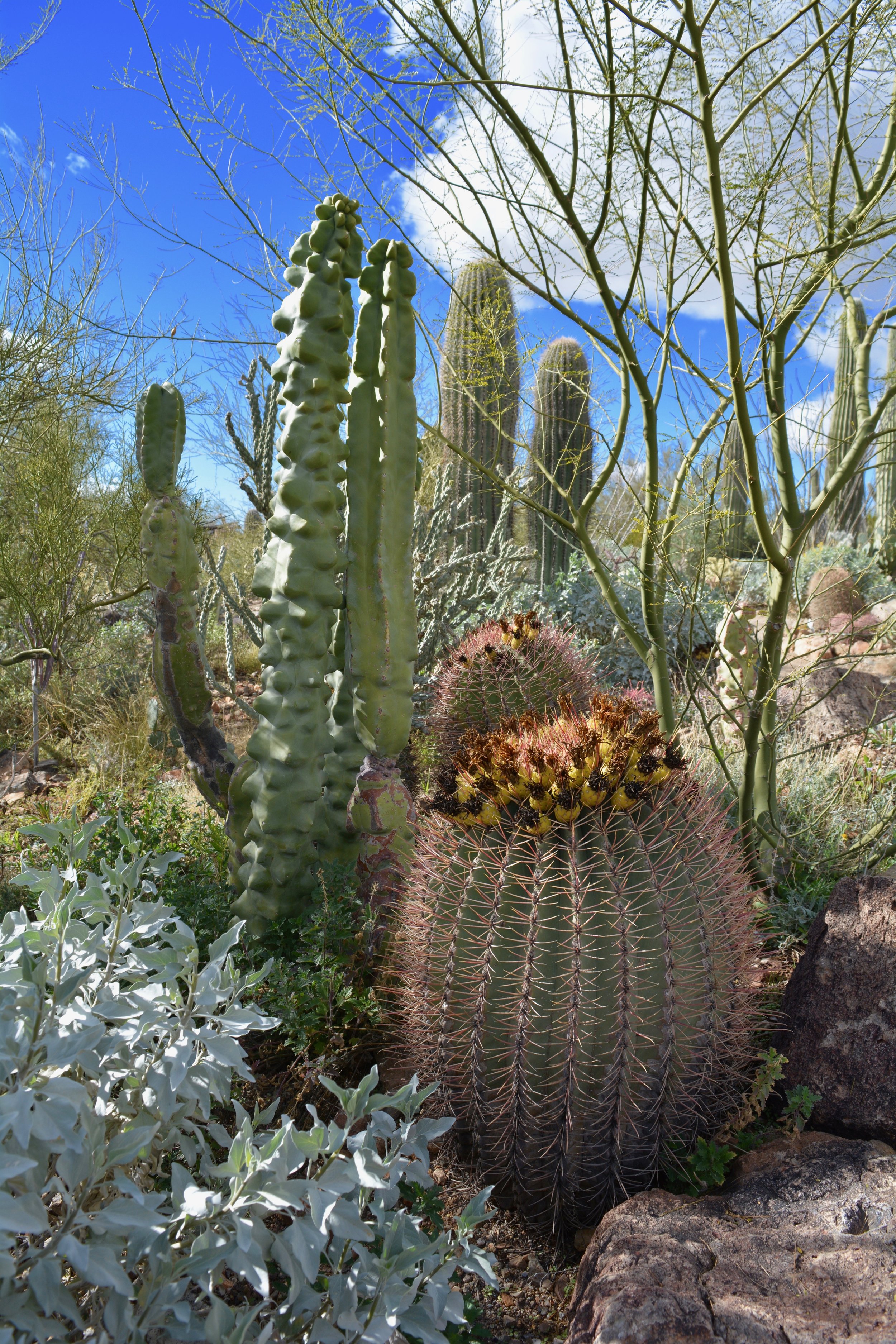
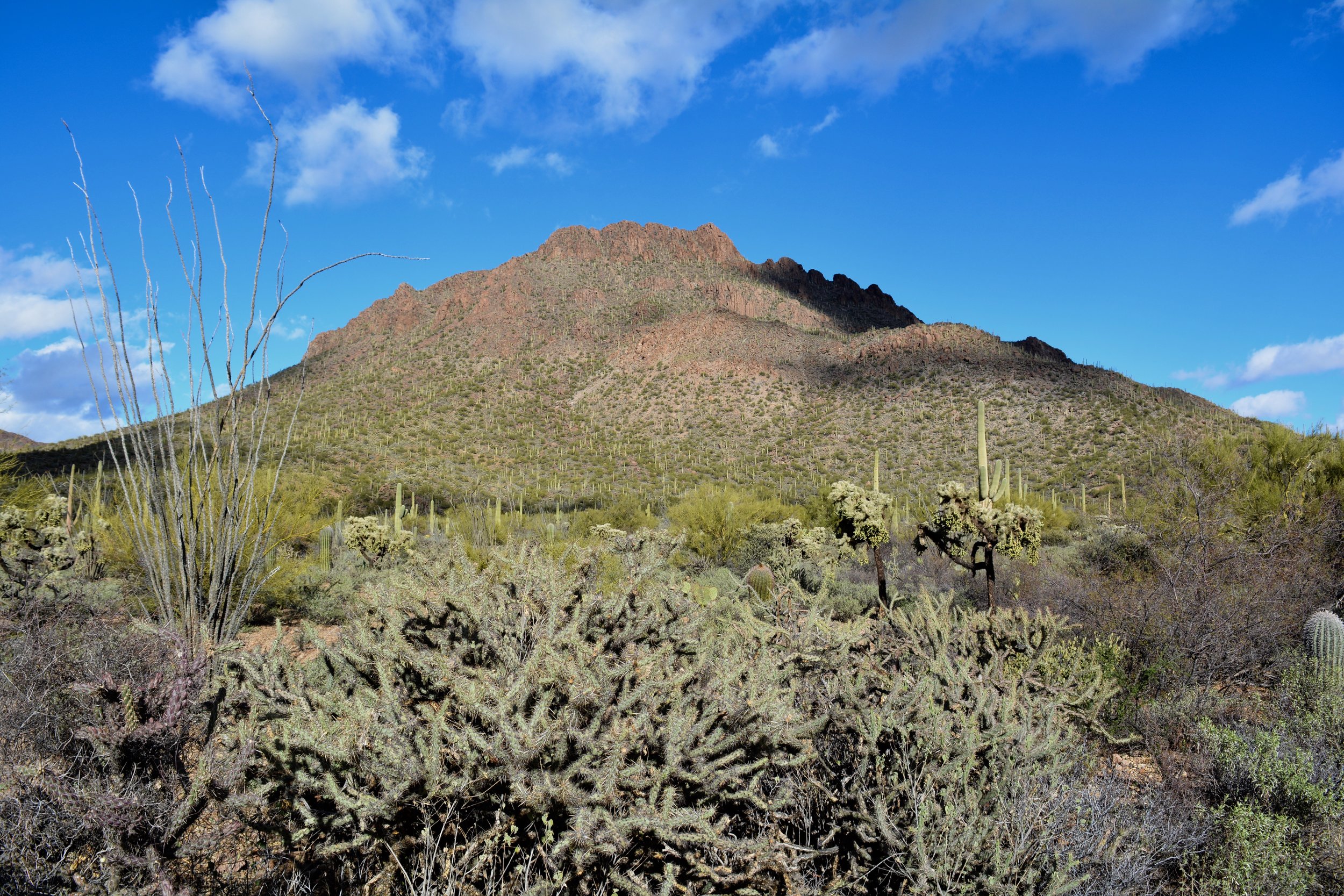
I hadn't shared anything about myself with any of these people, and these experiences left me feeling better than any of the workers at those places could have fathomed. I thought about it the rest of my day, as I climbed to the top of a mountain on a trail at Coronado National Memorial. I reflected on it as I cooked my dinner. I remembered it as I lay in bed drifting off to sleep.

In fact, I began recounting my entire trip in my head, remembering the interactions I've had with people along the way. Admittedly, being social has never come easy to me, especially in an unfamiliar environment. My interactions with others have been pretty sparse, and honestly, I think I can remember nearly every time I've spoken with another human being, no matter how fleeting, since leaving home. I can certainly recall every time they have been kind. 

I hope I have occasionally had the same effect on someone else's day as these people have on mine. I may not be rich, but as one of my favorite sayings goes, "It costs $0.00 to be a decent human being." 

Truth.

In closing, thank you to a few of the kind faces while on the road:

  • The hospitable guy working at the museum at Eureka Springs, Arkansas
  • The kind Scottish woman who owned the hotel in Hot Springs, Arkansas
  • The enthusiastic couple who just got engaged on the Talimena Scenic Byway
  • All of the incredibly warm, sweet, and friendly folks working at the Cherokee Heritage Center in Tahlequah, Oklahoma
  • The people who owned the house where I lived as a baby and without hesitation ushered me in for a tour
  • The guest at the hotel in Roswell who chatted with me as I ate breakfast in the restaurant
  • The overwhelming number of people in Las Cruces who were pleasant to me
  • The folks at Organ Mountains Desert Peaks National Monument, who went out of their way to talk to me about sites in the area and my journey
  • The front desk clerk in Silver City, New Mexico, who upgraded my room 
  • The kind couple and their dog who greeted me and chatted at length on the streets of Silver City, trying to recruit me as a resident
  • The ice cream scooper in Austin who inexplicably charged me less than full price, and wanted to chat all about where I was from, how my day was going, and my trip
  • Sheryl and Doug, Hoosiers turned Austinites, who welcomed me into their home for a lovely home cooked meal, and later treated me to a fantastic vegetarian restaurant
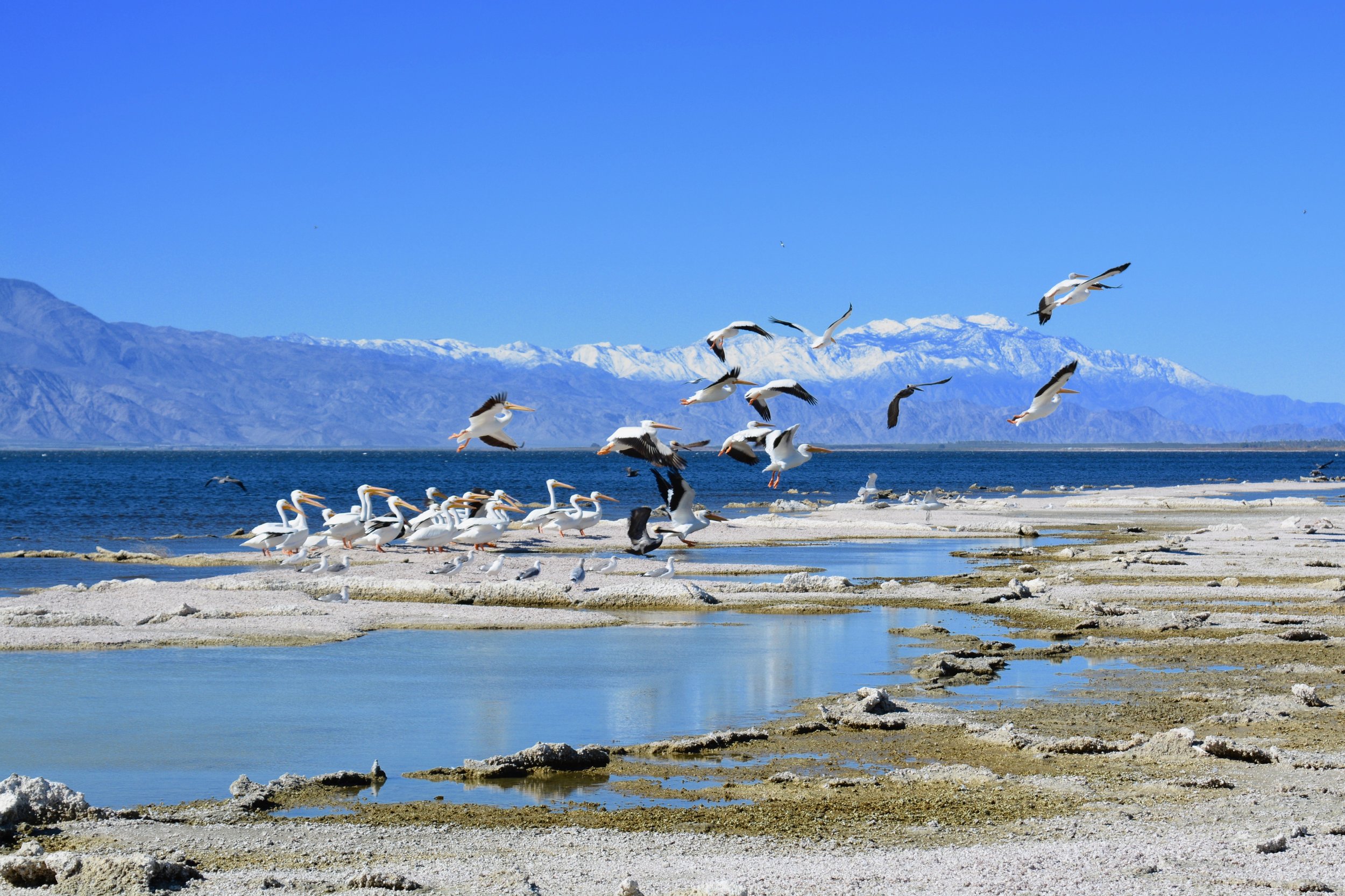
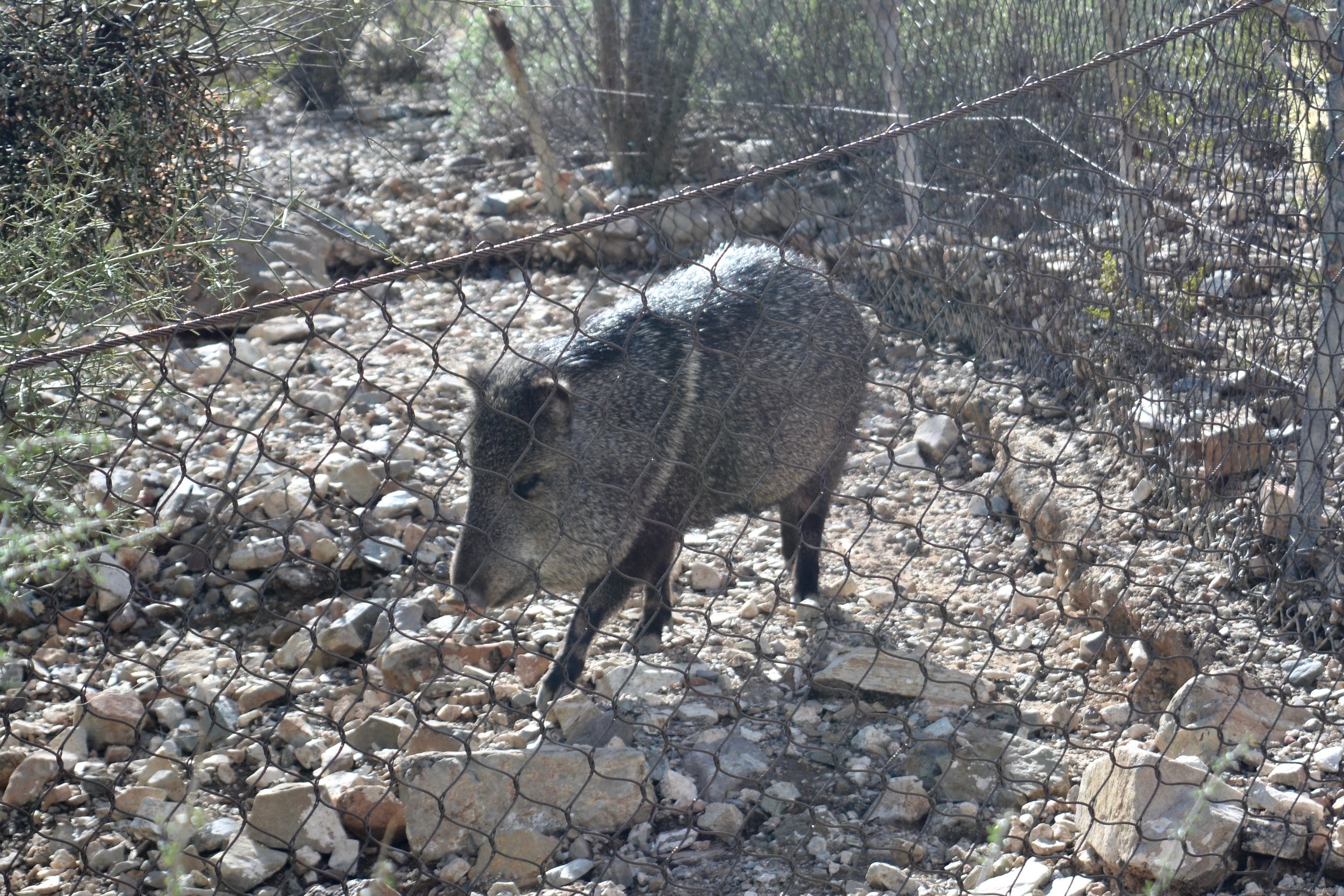
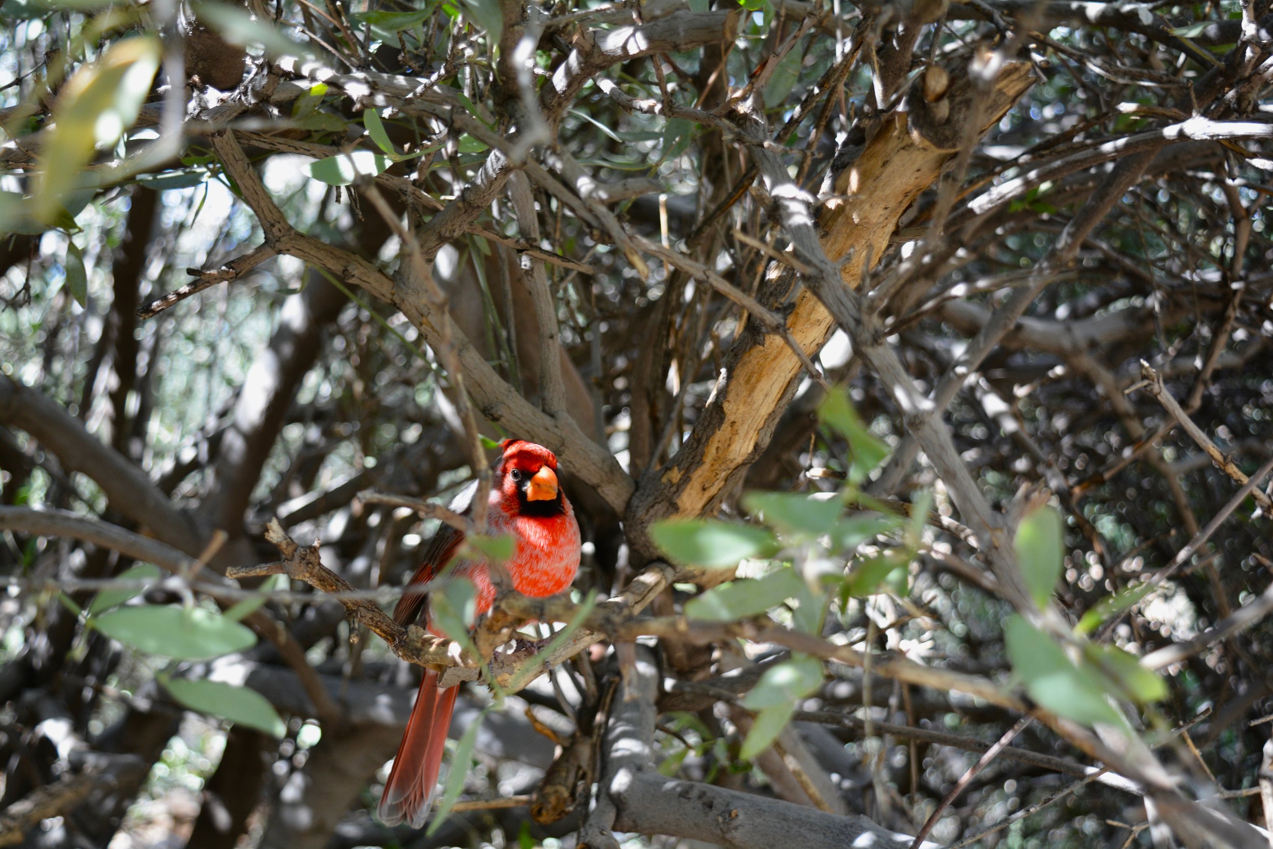
  • The kind staff and adventurers at Big Bend National Park
  • And, last but not least, the great guys at Discount Tire Store and Jiffy Lube

If I missed you, I promise you are still in my heart! Cheers!

In My Journey, Locations Tags Discount Tire Store, Jiffy Lube, Coronado National Memorial, gratitude, hiking, kindness, nice, nice people, thankful, thanks, travel
Comment

On the Move & Making Art - December 2016

January 1, 2017 Teressa Jackson

Bisbee, Arizona

My Austin apartment was above the garage on the right

My Austin apartment was above the garage on the right

On December 1, 2016, I arrived in Austin, Texas, after an exhausting 10-hour, 600+ mile drive. I settled into my little loft apartment in the North University neighborhood, where I enjoyed mostly warm weather, a lot of rain, a lovely walkable neighborhood, and treks to various sites around the region. 

Austin is a very nice city, but I think I've made a discovery about myself along this journey - I don't particularly enjoy cities much anymore. I'm not really into bars or clubs, restaurants are a great way to drain your cash quickly, and why shop for things you can't haul around from place to place that you don't need anyway? After taking in the cultural attractions, I was left at a bit of a loss for things I might want to do. Plus, I just started getting antsy for some sunshine and open terrain.

Then, late in the month my Airbnb host cancelled the reservation I'd had in Tucson, Arizona for January. At that point, I wasn't able to find a new place to stay in Tucson. A lot of people had recommended Bisbee, Arizona to me, so I decided the host cancellation was my opportunity to leave Austin a bit early and check it out.

My Bisbee Home

From December 25-26, I drove over 800 miles and checked in to a beautiful, serene, solar-powered house in the Mule Mountains a few miles outside of Bisbee, and my soul went "ahhhh." I can see for miles across the desert to the Huachuca Mountains, and my yard has been host to mule deer, birds, cattle, rainbows, glorious sunsets, and the sounds of goats bleating, coyotes howling, and roosters crowing. I'll get to enjoy this little oasis until the last week of January.

I wasn't quite as prolific in my artistic endeavors during December as in November, but I was also tending to some contract work, spent several days visiting Big Bend and driving to Bisbee, and maybe felt a little lethargic and uninspired. I still managed to create the following paintings inspired by my travels and informed by my original photography, as well as one very special commission a friend hired me to create for another friend as a Christmas gift. Some are already sold, but I still have a few left that could bring some beauty from across the U.S. to your home or office. 

Shop now ›


Berg's Eye View (Commission)


Johnson City, Texas: 12/7/16, 12:50:54


Big Bend National Park, Texas: 12/13/16, 19:02:10


Bisbee, Arizona: 12/27/16, 16:55:28


Bisbee, Arizona: 12/26/16, 18:29:11


Every $25 you buy in art helps keep me rolling on my adventure across the United States for approximately 1-2 days (gas is expensive!). I'm truly grateful to all the people in my life who keep me fueled up, both literally and figuratively!

Shop now ›

In My Journey, Fundraising, Art, Locations Tags Austin, Texas, Bisbee, Arizona, Tucson, Airbnb, art, painting, deer, coyotes, goats, cattle, rooster, mountains
Comment

Revealing the Beauty at Big Bend

December 16, 2016 Teressa Jackson

View of sunset at Chisos Mountains Lodge from my room

About the time I was coming down with my severe case of wanderlust this summer, I started tuning back in to our National Parks. As I said previously, I was pretty enamored with these destinations as a child. I remember a big beautiful book I had full of big, glossy photos, and how I would look at it and dream of visiting those (mostly) far off places.

I do not, however, remember dreaming about Big Bend during that time. The park has actually been largely out of my consciousness. I think I finally started noticing it after following their Facebook page this summer (along with about every other national park and monument around). The photos I began to see called longingly to me – I had to go and experience this wild, beautiful swath of west Texas!

So, for the past couple of months, I tried to devise a location to stay nearby, a route that made sense to drive me near, or any way I could make my way to Big Bend. Nothing seemed to make logical sense. The fact of the matter is, Big Bend isn’t close to anything or on your way anywhere. If you want to visit Big Bend, you just have to visit Big Bend.

After weeks of overanalyzing the decision, I booked three nights at the lodge in the Chisos Basin in the middle of the park. If I was to visit this wondrous place, I would do it right.

I was to stay in the park Tuesday to Friday, but Monday, the anticipation got the better of me. It would be a seven-hour drive from Austin, and I hated the thought of losing a whole day to driving. I found a cheap place to stay in Fort Stockton, two hours from my final destination, and got a head start. 

The Rio Grande River near Hot Springs

Tuesday, I arrived at the park around 10 a.m. At first, it didn’t seem all that different than some of the other amazing places I’ve seen recently. It was a beautiful desert with some mountains. When I hiked down to Hot Springs, I started to see some of the magic in the lush green vegetation along the banks of this desert river. I also saw the first signs of clandestine border crossings, with various Mexican souvenirs set out adjacent to a container in which to leave your money. 

I followed the river to the east to Rio Grande Village, along to where it enters Boquillas Canyon. I hiked up the beginning of the trail to where the river enters the canyon and stood gazing down at Mexico on the other side. There were men in cowboy hats wrangling horses, and dogs joyously scampering around. It was all very picturesque, and it entertained me for quite a while. I finally continued on the hike toward the canyon, but – I’m going to admit something here – I started to get scared. 

I had passed a couple more spots displaying Mexican crafts, and I just started to feel unnerved. Where were the people who were peddling these items? There was no money in any of the jars, so either no one was buying or someone was watching and collecting. When you are by yourself, that thought is a little bit creepy, and unfortunately, it ruined my hike.

A little upset with myself, I left. Sure, it was extremely likely that the people who were selling the crafts were the nicest people you would ever meet... but what if they weren’t? Where is the line between believing that others are generally good (which I do, truly, believe) and being irresponsible? As I have felt at other times, I was also slightly angry at having to feel this way more than a man would. Yes, I carry a knife, but it’s hard to know how a confrontation would end. 

The full moon and night sky above the Chisos Mountain Lodge

I tried to shake off my disappointment and pointed the car toward the Chisos Mountains, a volcanic island in the middle of the park. It is believed that these mountains were formed through a series of eruptions a long, long time ago. The low point in the midst of them is called the Chisos Basin, and this is the location of the Inn I would call “home” for the next three nights. 

The rooms are a bit dated, but my view was phenomenal. I enjoyed a nice hike down toward the “Window,” an opening in the mountains that frames the desert below. Soon my bad feelings had found their way right out of that window. In fact, they burnt up into one of the most phenomenal sunsets I’ve ever witnessed.

Santa Elena Canyon

Wednesday, I set off for the western part of the park, stopping at various vistas and formations along the way to Santa Elena Canyon, where the Rio Grande spectacularly emerges from between two towering cliffs. There were no Mexican crafts to be seen here, probably owing to the much more rugged terrain on the other side of the border. 

I hiked up into the canyon and descended into a cool, shady, and verdant green oasis along the riverbanks. The trail went as far as nature allowed, when the embankment butted up against the sheer walls of the canyon. 

From there, I adventured down Old Maverick Road, a bumpy, sometimes nearly washed out gravel road that showed me some park backcountry. Badlands, brick red cliffs, and a swift coyote greeted me. 

The top of Lost Mine Trail, including my feet

I took a deep breath and started up the Lost Mine Trail on Thursday. I was a little anxious, as I had noted that this trail was closed due to high bear activity right up until my visit. However, none of my Big Bend adventures had included the park’s mountain terrain, and I hated to leave without experiencing the forested green elevations of the Chisos Mountains. My mind was definitely set at ease by the number of hikers I had seen at this location the days before. I would not be alone there, that was for sure.

Me at the top of Lost Mine Trail

It quickly became obvious why I would not be alone on this trail. I feel sad for those who visited during the closure, because it was spectacularly beautiful. I felt like I took a hundred photos of the same vista, because each angle was more breathtaking than the next. The cloudy mist below only added to the magical beauty, and when I reached the top – oh, when I reached the top! Boom! Wow! Fantastic!

Grapevine Hills Trail

The other pleasurable part of this trail was the opportunity to converse with other travelers. There’s something about our national parks that I believe to be the “great leveler.” Maybe we should all head out to a park and become a better nation, because I had some great conversations on my way up, up up, at the top, and on my way down, down, down. How can you not be of one mind when you are sharing something so beautiful, so spectacular, so life affirming? It certainly brought me back firmly into my belief in the good of others.

The Lost Mine Trail was undoubtedly the highlight of my Big Bend adventure. I easily conquered Grapevine Hills Trail that afternoon, and ate some terrible canned soup (I have decided that all canned soup is horrible!) on my balcony that evening, sated nonetheless. 

Nine hours of driving behind me, Friday night I was back in Austin. Yes, I blew my budget a bit with the Big Bend excursion, but no, I wouldn’t take it back for anything.

Lost Mine Trail

In My Journey, Locations Tags Texas, Big Bend, National Parks Service, Chisos Mountains, Chisos Basin, Fort Stockton, Hot Springs, Rio Grande, Rio Grande Village, Boquillas Canyon, Mexico, Santa Elena Canyon, Lost Mine Trail, Austin, mountains, national park
Comment

LBJ for a Day

December 8, 2016 Teressa Jackson

Johnson's "Texas White House"

I have always enjoyed history, but typically more in a "History Channel" way than a "history major" way. As such, I have to admit, I didn't know a lot about Lyndon B. Johnson before yesterday. He passed away more than three years before I was born, so I also have that excuse for my ignorance. 

I have a really hard time resisting a visit to any National Park or Monument. When I saw the NPS arrowhead for the Lyndon B. Johnson National Historic Park on my way into Austin, I knew I would likely have to return. 

The drive out through Texas Hill Country was beautiful, and gave me a better idea of the scenery surrounding Austin since it was dark when I arrived a week ago. There are a tremendous number of wineries dotting the landscape all through this area, which might make for a fun future adventure (anyone want to come drive me around?).

LBJ Boyhood Home

Johnson's boyhood home and his grandparents' settlement in Johnson City were my first stop. Honestly, I had thought that was the full scope of the park until I arrived, and was informed that the LBJ Ranch and home in later years, the "Texas White House," were also located 14 miles up the road toward Fredericksburg.

I enjoyed a short walk through the Johnson settlement, including an opportunity to meet my first real Texas longhorn. I loved the crackling sound of the grasses rustling in the fields there. I made it back to Johnson's boyhood home just in time for a ranger-led tour of the home, which was modest with the exception of the fact that it contained the only telephone that had existed in Johnson City in its day. The telephone, the three porches, and the radio were the hubs of the household and influenced the way that Johnson approached his life from that point forward. 

Cattle at LBJ Ranch

A short drive up the road, through fields of deer, sheep, goats, and cattle, and I was at the LBJ Ranch along the Pedernales River. The location might be slightly remote, but that didn't stop LBJ from having modern conveniences like his own airplane hangar and telephones and televisions everywhere you looked. There were three televisions in both the living room and the bedroom, and even a telephone mounted under the dining room table. We complain about cell phones today - can you imagine what he would have been like with the technology that now exists?

My knowledge of Johnson's legacy mostly consisted of a vague idea of his role in escalating the Vietnam War, his "Great Society" programs, and the advancement of the Civil Rights Act of 1964 and 1968. I was largely unaware of the litany of legislation that was passed during his time as President, during which he had Democratic control of both the House and Senate (which is the situation we are facing in January 2017). Among others, legislation included Medicare, Medicaid, the Voting Rights Act, the Open Housing Act, National Endowment for the Arts and Humanities, the Truth In Lending Act, College Work Study, Food Stamps, the Clean Air Act, and the establishment of nearly 50 National Park areas. 

I wrapped up my day with a trip into Fredericksburg, Texas. This town has a downtown full of beautifully preserved historic buildings that are home to shops, wineries, breweries, and restaurants. After seeing so many cute cattle through the day, I was hungry for a burger - so I finished off my day with a (VEGGIE) burger at a place called Burger! Burger! 

You're welcome, cows. :-)

Fredericksburg, TX

In My Journey, Locations Tags Fredericksburg, Texas Hill Country, Texas, Lyndon B. Johnson, longhorn, cattle, history, National Parks Service, Austin, Johnson City, Texas White House, Pedernales River, Great Society, Civil Rights Act, historic, telephones
Comment

Bright and Shiny in Austin

December 7, 2016 Teressa Jackson

HOPE Outdoor Gallery

After 5 days of clouds and drizzle, the weather forecast was sunny for Tuesday. I was sure it was shining for Dolly Parton, since I would get to see her in action that night. 

I wrapped up some design work for a client, and headed out to see some sights around Austin. The first stop was HOPE Outdoor Gallery, where I hiked to the top of the concrete construction and was surprised with the fantastic view of the city that accompanied the bright and colorful graffiti landscape. There were several artists at work while I was there, and although I got a little muddy climbing around on the structure, I called it a win since I didn't slip and fall on my rear. :-)

A view from Mt. Bonnell

Next on my agenda was Mount Bonnell, the highest "mountain" in Austin. At 785 feet above sea level, it paled in comparison to the 8,000 and 9,000 foot mountains I've been admiring. It did, however, provide a nice view of the Colorado River and several different areas of the city. I also enjoyed a peaceful picnic lunch there.

I drove around the corner from Mount Bonnell to visit Laguna Gloria, an outdoor sculpture garden at an historic estate affiliated with The Contemporary Austin, the galleries of which I had visited last week. The gardens were lush and peaceful, and a lovely setting for the artwork.

Sculpture at Laguna Gloria

Following Laguna Gloria, I walked around the Barton Springs area of Austin. I took a gander at the Barton Springs Pool, which is fed by springs and has a temperature that is supposedly good for year-round swimming. I didn't see many takers on that in the low-60s weather, which had also turned cloudy. The water at the pool and on down Barton Creek was the prettiest color of turquoise blue. 

I returned to my apartment for a little down time, and then I was off to the Frank Erwin Center to see Dolly! I was so excited when I arrived in the city last week and discovered she was playing, and she certainly did not disappoint. She performed two sets, a total of nearly three hours of entertainment. During that time, she played acoustic guitar, electric guitar, piano, dulcimer, banjo, and violin. What a lady!

The not-so-great photo I got of Dolly

Dolly may have missed her calling - yes, she is a legendary singer, but I also think she's part comedian. It was definitely one of the most genuine and amusing shows I have ever seen. A couple of my favorite Dolly quotes: She thanked everyone for spending their hard earned money on a ticket to come see her, because "it costs a lot of money to look this cheap!" Later, she informed us that she was a "self-made woman," and that she "has the doctor's bills to prove it!"

She interwove many stories from her life and about her songs with the performance which made it more than just a concert. She also talked with heart about her upbringing in the Great Smoky Mountains and the recent tragic fires there, and her wonderful Imagination Library project which we are so lucky to have in my hometown. 

I've never seen so many white, glittering rhinestone-encrusted things in my life as I saw on stage with and on Dolly. Come to think of it, I'm not sure if that was sunshine I saw earlier in the day. Maybe it was Dolly's reflection.

The city view from HOPE Outdoor Gallery

In My Journey, Locations Tags Dolly Parton, HOPE Outdoor Gallery, Mount Bonnell, Austin, Colorado River, Laguna Gloria, The Contemporary Austin, Barton Springs, Barton Creek, Frank Erwin Center, Great Smoky Mountains, Imagination Library, graffiti, mural, rhinestones, sunshine
Comment

Austin, I Have Arrived

December 3, 2016 Teressa Jackson

Sunset along Highway 290 in Texas

My Las Cruces Home

Thursday morning I bid adieu to my adobe abode in Las Cruces and hit the I-10 east. I was headed to Austin, Texas for December. 

I went from the peaks of the Texas Mountain Trail to a land of plateaus and windmills, which gradually changed to a land of hills that became increasingly greener as the miles passed. I learned from my close calls of the past and took ample opportunities to fill up my gas tank and to use the ladies' room. Most of the trek was very sparsely inhabited. 

The Lights in Johnson City

The sun began to set when I exited I-10 for Highway 290, so after that, the landscape is somewhat of a mystery to me. There seemed to be a whole lot of nothing until I arrived in Fredericksburg, which looked like a fun spot to revisit in the near future. Johnson City came shortly after that, and the incredible Christmas lights adjacent to the Lyndon B. Johnson National Historical Park prompted me to turn my car around, surround myself in a magical glow, and snap a few photos. 

Me, "Enjoying" the Rain

The rest of the route was mostly steeped in darkness until I began to approach Austin. The city's skyline contained the first tall buildings I've seen since I drove through Tulsa after my time in Tahlequah. After a month in Las Cruces, Austin just has so much stuff.

My Central Austin neighborhood loft apartment is significantly smaller than the 3 bedroom, 2 bathroom house I called home in Las Cruces, but it's all I really need. And yes, it cost more. I guess that's part of what comes with so much stuff. 

Unfortunately, the city was dreary and rainy yesterday and today, and is projected to be that way through Monday morning. After a day of resting up from 10 hours on the road yesterday, I attempted to explore today. My first reaction was major sticker shock when I discovered that a public parking lot I almost used was going to cost $10 PER HOUR. I may have to increase the price of my artwork with those rates! Thankfully, I finally found a spot on the street for a more reasonable cost of around $4 total for 3 hours. 

Painting at the Mexic-Arte Museum

I visited the Mexic-Arte Museum, the Contemporary Austin, Voodoo Doughnuts Austin, and the Driskill Hotel. I finally had enough of traipsing around in the chilly rain and took refuge in the Austin Ale House, where I enjoyed a $4 beer special with a plate of fries. A budget-friendly indulgence.

I think I'll hunker down at my place for a while and get some work done (yes, I do actually work) and paint. Come on Tuesday, I need some sunshine!

Voodoo Doughnut

In Locations, My Journey Tags Las Cruces, New Mexico, I-10, Austin, Texas, Texas Mountain Trail, Texas Hill Country, Fredericksburg, Johnson City, Lyndon B. Johnson, National Parks Service, Central Austin, Mexic-Arte Museum, The Contemporary Austin, Voodoo Doughnuts, Driskill Hotel, Austin Ale House, beer, expensive, national park, plateaus, rain, windmills
Comment
← Newer Posts Older Posts →

me@teressaljackson.com • 502.593.2596